File:日治時代的南方澳漁港通帳簿.jpg
Jump to navigation
Jump to search

Size of this preview: 800 × 532 pixels. Other resolutions: 320 × 213 pixels | 640 × 425 pixels | 1,024 × 680 pixels | 1,280 × 851 pixels | 2,560 × 1,701 pixels | 3,508 × 2,331 pixels.
Original file (3,508 × 2,331 pixels, file size: 5.98 MB, MIME type: image/jpeg)
Captions
Captions
Add a one-line explanation of what this file represents
Summary
[edit]
| Description |
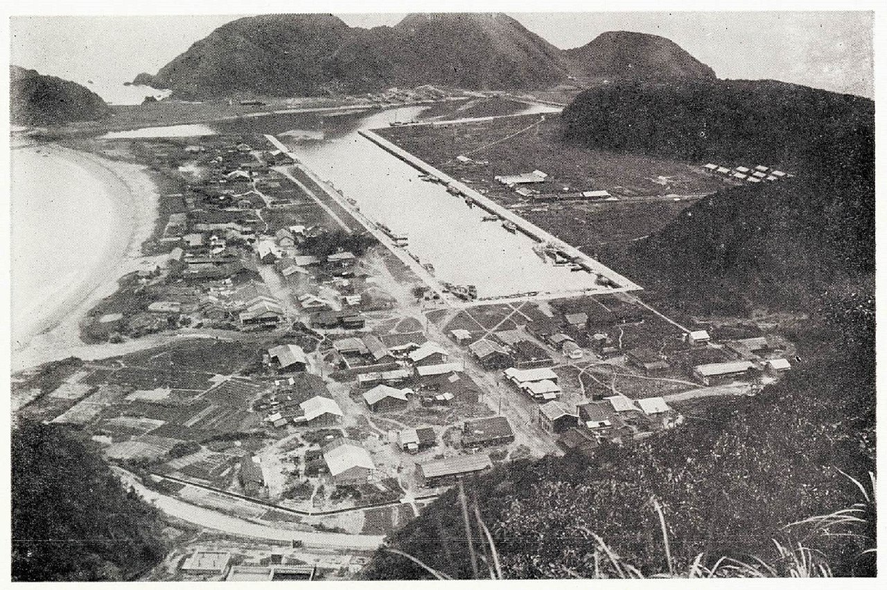
中文(臺灣):1923年,日人在南方澳建港後,隨著日本漁民的增加,造船廠及維修船機的工廠也因應而生,但都只限於小型的規模,那是因為當時的漁法簡單,船隻也不太大的緣故,每年國曆八月起,自日本四國地方的宇和島市會有許多大型的鏢魚船隊湧入南方澳漁港作準備,如龍喜丸、金光丸、八幡丸、戒丸等數十艘漁船,主要是來鏢旗魚,九月一吹起東北季風,旗魚就會出現,一直到翌年的四月止都是捕旗魚的季節。到了四月底,等日本的海神「金刀比羅社」的祭典辦完後,船隻便結隊返回日本四國,等翌年的八月才會再來南方澳。回日本之前,船員們會大量採購本地有名的土特產回鄉。 當時南方澳專賣日本人用品的商店有四、五家,大部分都有自己的主顧客,主顧客有在地的,也有從日本來的漁船船員,他們的消費很少用現金,而是用「通帳簿」的方式記帳,所謂「通帳簿」就是當商店認定一個消費者已經成為主顧客的時候,這個主顧客就可以在這家商店開立一個帳戶,而這家商店也會給這個主顧客一本「通帳簿」,消費的時候,主顧客帶著「通帳簿」到商店,購買商品後,店家會在主顧的「通帳簿」及店內的帳簿同步記帳,等月底的時候,店家便送上帳單給主顧客核對「通帳簿」後結帳。 |
| Source | https://memory.culture.tw/Home/Detail?Id=282871&IndexCode=Culture_Place |
| Author | 創作者:莊文生;廖大慶。貢獻者:宜蘭縣政府文化局 |
| Camera location | | View this and other nearby images on: OpenStreetMap |
|---|
Licensing
[edit]
This file is licensed under the Creative Commons Attribution 3.0 Taiwan license.
- You are free:
- to share – to copy, distribute and transmit the work
- to remix – to adapt the work
- Under the following conditions:
- attribution – You must give appropriate credit, provide a link to the license, and indicate if changes were made. You may do so in any reasonable manner, but not in any way that suggests the licensor endorses you or your use.

File history
Click on a date/time to view the file as it appeared at that time.
| Date/Time | Thumbnail | Dimensions | User | Comment | |
|---|---|---|---|---|---|
| current | 08:21, 13 April 2022 | | 3,508 × 2,331 (5.98 MB) | Muyueh Bot (talk | contribs) |
You cannot overwrite this file.
File usage on Commons
There are no pages that use this file.