File:废弃据点 - Abandoned Stonghold - 2016.04 - panoramio.jpg
Jump to navigation
Jump to search

Size of this preview: 800 × 446 pixels. Other resolutions: 320 × 178 pixels | 640 × 357 pixels | 1,024 × 571 pixels | 1,280 × 713 pixels | 2,560 × 1,427 pixels | 4,835 × 2,695 pixels.
Original file (4,835 × 2,695 pixels, file size: 3.51 MB, MIME type: image/jpeg)
Captions
Captions
Add a one-line explanation of what this file represents
Summary
[edit]
| Description |
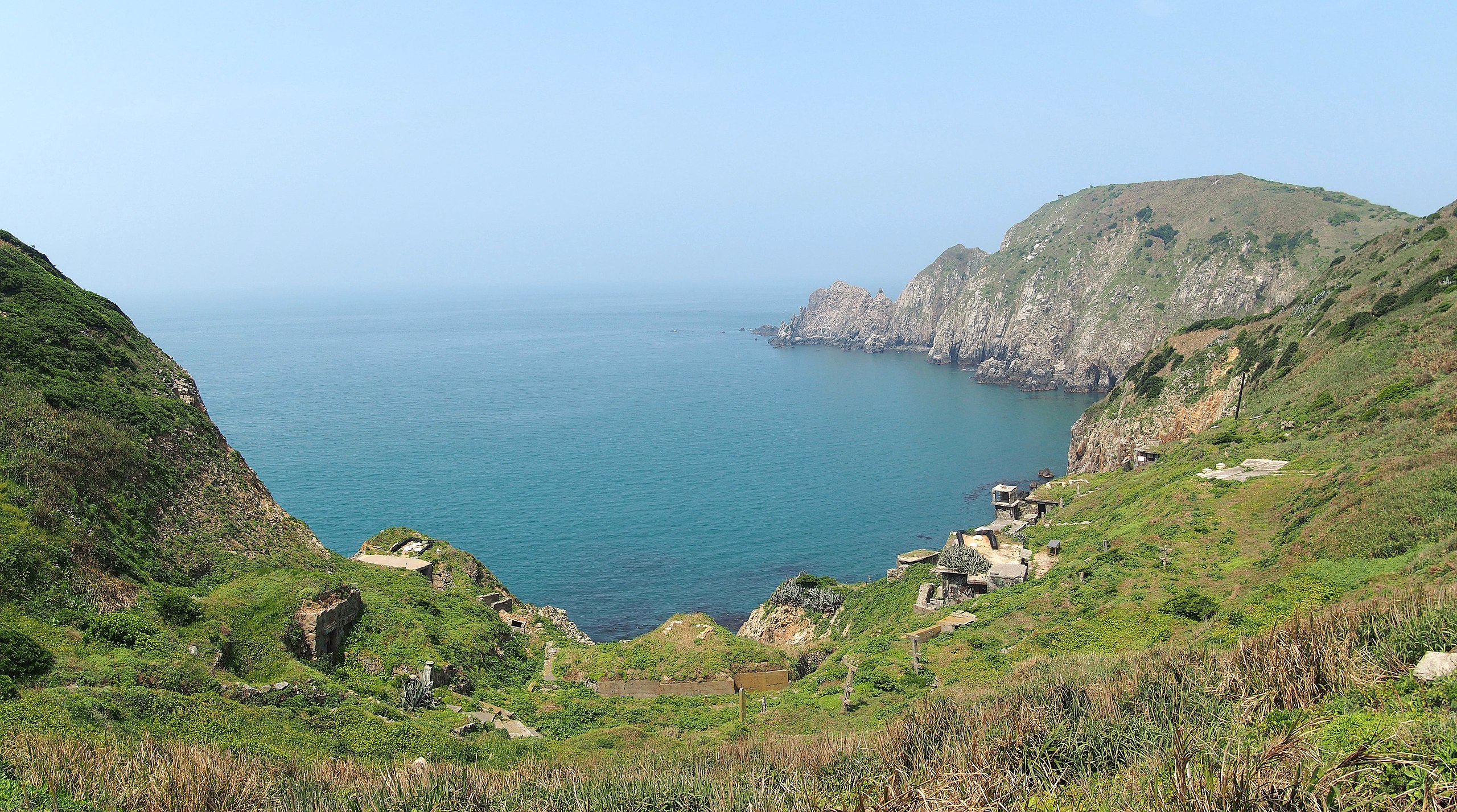
中文(臺灣):廢棄據點 - 民國105年4月 中文(简体):废弃据点 - 2016.04 English: Abandoned Stonghold - 2016.04 |
||
| Date | Taken on 1 April 2016 | ||
| Source | https://web.archive.org/web/20161102181608/http://www.panoramio.com/photo/129874059 | ||
| Author | Chen Huang | ||
| Permission (Reusing this file) |
This file is licensed under the Creative Commons Attribution 3.0 Unported license. Attribution: Chen Huang
|
||
| Panoramio Tags | 馬祖 - Matsu Islands |
| Camera location | | View this and other nearby images on: OpenStreetMap |
|---|
File history
Click on a date/time to view the file as it appeared at that time.
| Date/Time | Thumbnail | Dimensions | User | Comment | |
|---|---|---|---|---|---|
| current | 04:59, 5 July 2017 | | 4,835 × 2,695 (3.51 MB) | Panoramio upload bot (talk | contribs) | == {{int:filedesc}} == {{Information |description=废弃据点 - Abandoned Stonghold - 2016.04 |date={{Taken on|2016-04-01}} |source=http://www.panoramio.com/photo/129874059 |author=[http://www.panoramio.com/user/5226993?with_photo_id=129874059 Chen Hu... |
You cannot overwrite this file.
File usage on Commons
There are no pages that use this file.
File usage on other wikis
The following other wikis use this file:
- Usage on de.wikipedia.org
- Usage on en.wikipedia.org
- Usage on fr.wikipedia.org