File:嶺腳.jpg
Jump to navigation
Jump to search

Size of this preview: 800 × 449 pixels. Other resolutions: 320 × 180 pixels | 640 × 360 pixels | 1,024 × 575 pixels | 1,280 × 719 pixels | 2,560 × 1,438 pixels | 5,184 × 2,912 pixels.
Original file (5,184 × 2,912 pixels, file size: 9.73 MB, MIME type: image/jpeg)
Captions
Captions
Add a one-line explanation of what this file represents
Summary
[edit]
| Description |
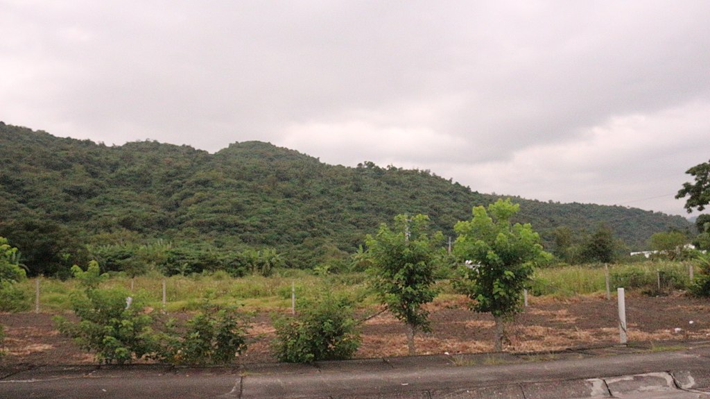
中文(臺灣):嶺腳在蘇澳港邊里行政區域內,港邊里位在蘇澳東北邊,東邊臨太平洋,南邊就是七星嶺山稜線,北邊與無尾港相接。嶺腳,因位於七星嶺山腳下,故稱嶺腳。嶺腳因靠海,居民大部分以漁業為生,是一處小型漁村。據施添福《蘭陽平原的傳統聚落》調查,嶺腳地區是以陳姓、林姓及張姓為主的主姓村。嶺腳在1825(道光5)年蘇澳港設置兵汛時期,同時在七星嶺之北的嶺腳,設置南關,以為噶瑪蘭南方之鎖鑰。南關是否設置在此處,各方說法各異,但可證實清朝最後以經費無出及其他因素,並未完成南關之設置,若從其地理形勢推論,由於七星嶺山脈一直向東延伸至北方澳的山嶺,標高 229 公尺,七星山脈最高點的「星嶺公園」居高臨下,視野寬廣,確為監控海路最好據點。同時陸路可糾察大坑罟、港口、港邊、嶺腳、岳明新村等聚落,倘若不在七星嶺置高點上,另一處便是七星嶺山脈延伸至北方澳的山嶺,此處同樣視野遼闊,設置南關當是最好地理位置,現今此處有國軍駐營,當可推論南關最有可能設置在七星嶺上。 |
| Source | https://memory.culture.tw/Home/Detail?Id=282885&IndexCode=Culture_Place |
| Author | 創作者:莊文生;鐘碧娟。貢獻者:宜蘭縣政府文化局 |
| Camera location | | View this and other nearby images on: OpenStreetMap |
|---|
Licensing
[edit]
This file is licensed under the Creative Commons Attribution 3.0 Taiwan license.
- You are free:
- to share – to copy, distribute and transmit the work
- to remix – to adapt the work
- Under the following conditions:
- attribution – You must give appropriate credit, provide a link to the license, and indicate if changes were made. You may do so in any reasonable manner, but not in any way that suggests the licensor endorses you or your use.

File history
Click on a date/time to view the file as it appeared at that time.
| Date/Time | Thumbnail | Dimensions | User | Comment | |
|---|---|---|---|---|---|
| current | 08:24, 13 April 2022 | | 5,184 × 2,912 (9.73 MB) | Muyueh Bot (talk | contribs) |
You cannot overwrite this file.
File usage on Commons
There are no pages that use this file.