File:子持山の広域地図.jpg
Jump to navigation
Jump to search
Size of this preview: 497 × 600 pixels. Other resolutions: 199 × 240 pixels | 398 × 480 pixels | 640 × 772 pixels.
Original file (640 × 772 pixels, file size: 450 KB, MIME type: image/jpeg)
Captions
Captions
Add a one-line explanation of what this file represents
Summary
[edit]
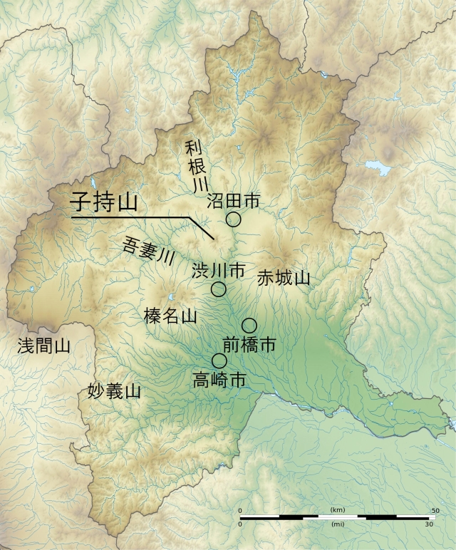
| Description | 群馬県における子持山の位置図 |
| Date | |
| Source | c:file:Gunma-ken géolocalisation relief.svg(現著作者=Bourrichon (atelier graphique))を基に作成 |
| Author |
|
| Other versions |
 |
Licensing
[edit]
This file is licensed under the Creative Commons Attribution-Share Alike 4.0 International license.
- You are free:
- to share – to copy, distribute and transmit the work
- to remix – to adapt the work
- Under the following conditions:
- attribution – You must give appropriate credit, provide a link to the license, and indicate if changes were made. You may do so in any reasonable manner, but not in any way that suggests the licensor endorses you or your use.
- share alike – If you remix, transform, or build upon the material, you must distribute your contributions under the same or compatible license as the original.
Original upload log
[edit]
The original description page was here. All following user names refer to ja.wikipedia.
| Date/Time | Dimensions | User | Comment |
|---|---|---|---|
| 2018-05-13 14:30 | 640×772× (461201 bytes) | 㭍月例祭 | {{Information |Description=[[群馬県]]における[[子持山]]の位置図 |Source=[[:ja:c:file:Gunma-ken géolocalisation relief.svg|c:file:Gunma-ken géolocalisation relief.svg]](現著作者=[[:ja:w:fr:Discussion_utilisateur:Bourrichon|Bourrichon]] ([[:ja::fr:Wikipédia:Atelier_graphique/Cartes|atelier graphique]]))を基に作成 |Date=2018年5月13日 |Location= |Author=㭍月例祭 |Permission={{Cc-by-sa-4.0}} |other_versions= }} |
| This file was moved from Japanese Wikipedia.
See below for original file information. | ||||||||||||||||||||||||||||
| ||||||||||||||||||||||||||||
|
| ||||||||||||||||||||||||||||
File history
Click on a date/time to view the file as it appeared at that time.
| Date/Time | Thumbnail | Dimensions | User | Comment | |
|---|---|---|---|---|---|
| current | 08:43, 16 July 2018 | | 640 × 772 (450 KB) | DreamerBlue (talk | contribs) | Transferred from ja.wikipedia via #commonshelper |
You cannot overwrite this file.
File usage on Commons
The following page uses this file:
File usage on other wikis
The following other wikis use this file: