File:天街全景 - Full View of the Heavenly Street - 2012.06 - panoramio.jpg
Jump to navigation
Jump to search

Size of this preview: 800 × 408 pixels. Other resolutions: 320 × 163 pixels | 640 × 326 pixels | 1,024 × 522 pixels | 1,280 × 653 pixels | 3,238 × 1,651 pixels.
Original file (3,238 × 1,651 pixels, file size: 5.13 MB, MIME type: image/jpeg)
Captions
Captions
Add a one-line explanation of what this file represents
Summary
[edit]
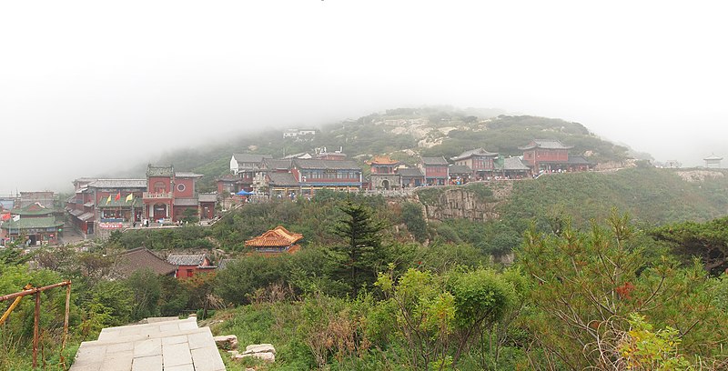
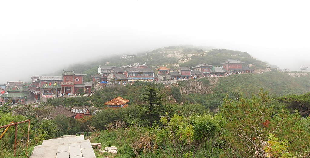
| Description | 天街全景 - Full View of the Heavenly Street - 2012.06 | ||
| Date | Taken on 27 June 2012 | ||
| Source | https://web.archive.org/web/20161025224214/http://www.panoramio.com/photo/76119362 | ||
| Author | rheins | ||
| Permission (Reusing this file) |
This file is licensed under the Creative Commons Attribution 3.0 Unported license. Attribution: rheins
|
||
| Tags (from Panoramio photo page) | Tai'an, 泰山 - Mt. Taishan |
| Camera location | | View this and other nearby images on: OpenStreetMap |
|---|
File history
Click on a date/time to view the file as it appeared at that time.
| Date/Time | Thumbnail | Dimensions | User | Comment | |
|---|---|---|---|---|---|
| current | 06:46, 10 January 2017 | | 3,238 × 1,651 (5.13 MB) | Panoramio upload bot (talk | contribs) | == {{int:filedesc}} == {{Information |description=天街全景 - Full View of the Heavenly Street - 2012.06 |date={{Taken on|2012-06-27}} |source=http://www.panoramio.com/photo/76119362 |author=[http://www.panoramio.com/user/5226993?with_photo_id=76119... |
You cannot overwrite this file.
File usage on Commons
There are no pages that use this file.