File:国道422号 不通区間 池の谷 終点 - panoramio.jpg
Jump to navigation
Jump to search

Size of this preview: 800 × 600 pixels. Other resolutions: 320 × 240 pixels | 640 × 480 pixels | 1,024 × 768 pixels | 1,280 × 960 pixels | 2,048 × 1,536 pixels.
Original file (2,048 × 1,536 pixels, file size: 1.61 MB, MIME type: image/jpeg)
Captions
Captions
Add a one-line explanation of what this file represents
Summary
[edit]
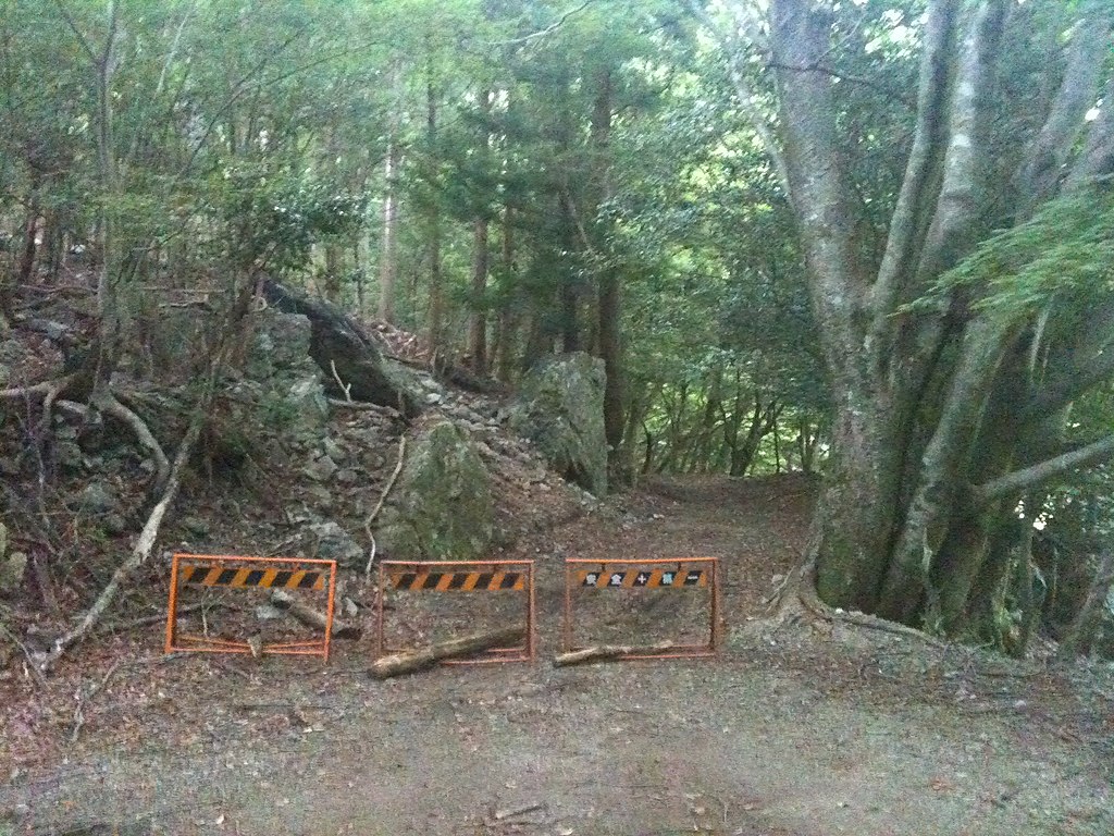
| Description | 国道422号 不通区間 池の谷 終点 | ||
| Date | Taken on 17 July 2011 | ||
| Source | https://web.archive.org/web/20161020044918/http://www.panoramio.com/photo/55913175 | ||
| Author | Arichika Taniguchi | ||
| Permission (Reusing this file) |
This file is licensed under the Creative Commons Attribution-Share Alike 3.0 Unported license. Attribution: Arichika Taniguchi
|
||
| Tags (from Panoramio photo page) | Odai, 2011, 三重県, 国道422号, 大台町, 峠, 日本, 道標 |
| Camera location | | View this and other nearby images on: OpenStreetMap |
|---|
File history
Click on a date/time to view the file as it appeared at that time.
| Date/Time | Thumbnail | Dimensions | User | Comment | |
|---|---|---|---|---|---|
| current | 19:00, 3 December 2016 | | 2,048 × 1,536 (1.61 MB) | Panoramio upload bot (talk | contribs) | == {{int:filedesc}} == {{Information |description=国道422号 不通区間 池の谷 終点 |date={{Taken on|2011-07-17}} |source=http://www.panoramio.com/photo/55913175 |author=[http://www.panoramio.com/user/5694478?with_photo_id=55913175 Arichika Ta... |
You cannot overwrite this file.
File usage on Commons
There are no pages that use this file.
File usage on other wikis
The following other wikis use this file:
- Usage on ja.wikipedia.org