File:嘉義縣民雄鄉 旺萊山 鳳梨園 - panoramio.jpg
Jump to navigation
Jump to search

Size of this preview: 800 × 479 pixels. Other resolutions: 320 × 192 pixels | 640 × 383 pixels | 1,024 × 613 pixels | 1,280 × 766 pixels | 2,592 × 1,552 pixels.
Original file (2,592 × 1,552 pixels, file size: 1.59 MB, MIME type: image/jpeg)
Captions
Captions
Add a one-line explanation of what this file represents
Summary
[edit]
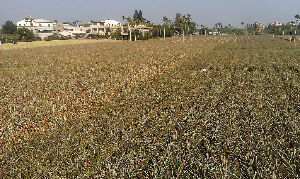
| Description | 嘉義縣民雄鄉 旺萊山 鳳梨園 | ||
| Date | Taken on 1 December 2013 | ||
| Source | https://web.archive.org/web/20161028064943/http://www.panoramio.com/photo/100977951 | ||
| Author | Chi-Hung Lin | ||
| Permission (Reusing this file) |
This file is licensed under the Creative Commons Attribution-Share Alike 3.0 Unported license. Attribution: Chi-Hung Lin
|
||
| Tags (from Panoramio photo page) | 民雄鄉, 2013, Chiayi, Taiwan, 台灣, 嘉義, 嘉義縣, 嘉義縣民雄鄉 |
| Camera location | | View this and other nearby images on: OpenStreetMap |
|---|
File history
Click on a date/time to view the file as it appeared at that time.
| Date/Time | Thumbnail | Dimensions | User | Comment | |
|---|---|---|---|---|---|
| current | 05:28, 11 March 2017 | | 2,592 × 1,552 (1.59 MB) | Panoramio upload bot (talk | contribs) | == {{int:filedesc}} == {{Information |description=嘉義縣民雄鄉 旺萊山 鳳梨園 |date={{Taken on|2013-12-01}} |source=http://www.panoramio.com/photo/100977951 |author=[http://www.panoramio.com/user/5192639?with_photo_id=100977951 Chi-Hung Lin]... |
You cannot overwrite this file.
File usage on Commons
There are no pages that use this file.
File usage on other wikis
The following other wikis use this file:
- Usage on en.wikipedia.org
- Usage on id.wikipedia.org