File:十二湖 青池 THETA SC 20180527 R0012691.JPG
Jump to navigation
Jump to search

Size of this preview: 800 × 400 pixels. Other resolutions: 320 × 160 pixels | 640 × 320 pixels | 1,024 × 512 pixels | 1,280 × 640 pixels | 2,560 × 1,280 pixels | 5,376 × 2,688 pixels.
Original file (5,376 × 2,688 pixels, file size: 3.73 MB, MIME type: image/jpeg)
Captions
Captions
Add a one-line explanation of what this file represents
Summary
[edit]
| 360° | View in 360° panoramic viewer
|
|---|
| Description |
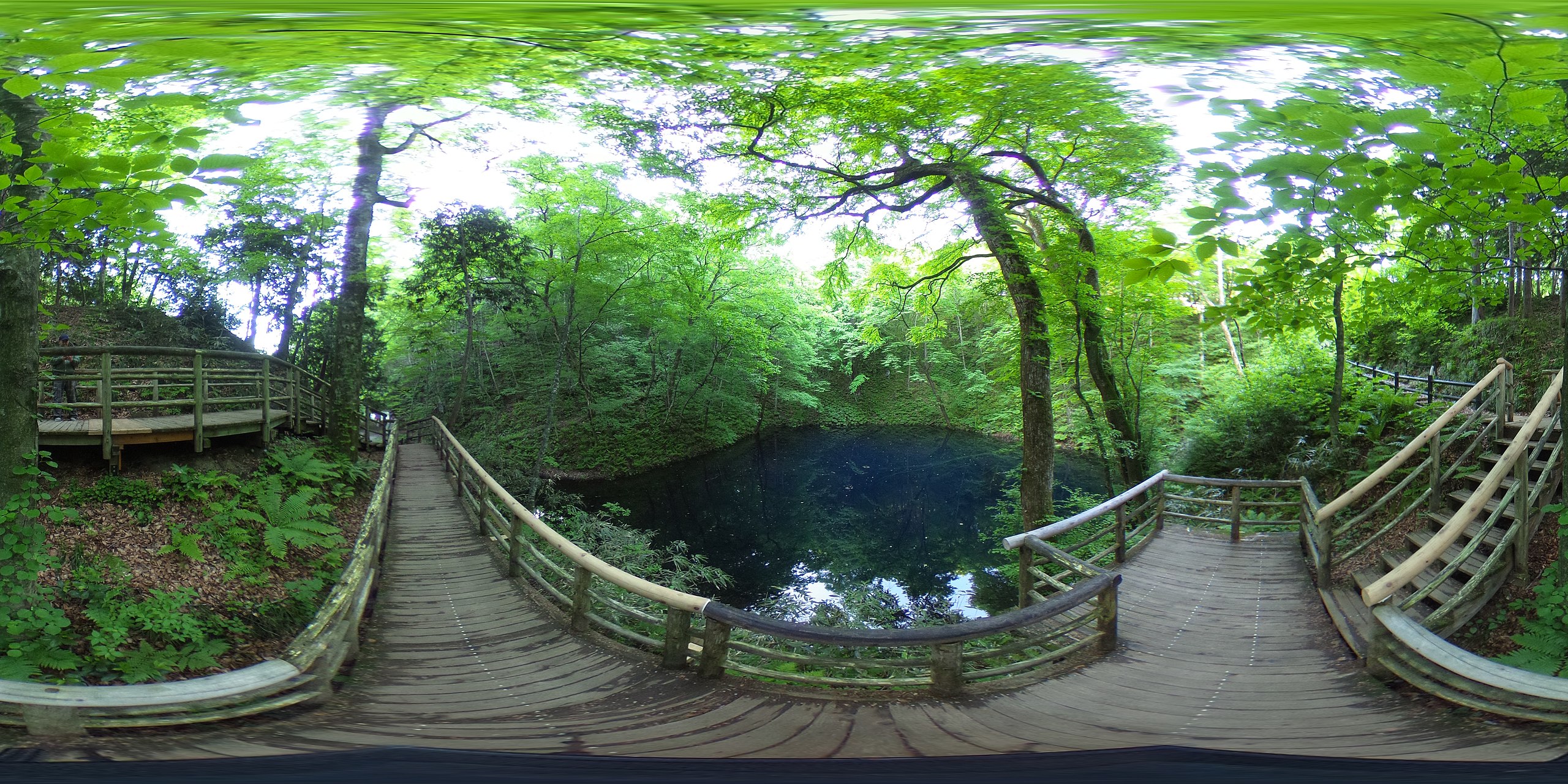
日本語: 青森県西津軽郡深浦町 十二湖 青池 RICOH THETA SC 360度写真 |
||
| Date | Taken on 27 May 2018, 06:10 | ||
| Source |
あおもりくまが撮影(オリジナル) (original source on jawp: ja:File:十二湖_青池_THETA_SC_20180527_R0012691.JPG) |
||
| Author | あおもりくま at Japanese Wikipedia(aomorikuma / kumax_aomori) | ||
| Permission (Reusing this file) |
I, the copyright holder of this work, hereby publish it under the following licenses:
This file is licensed under the Creative Commons Attribution-Share Alike 3.0 Unported license.
You may select the license of your choice. |
| Camera location | | View this and other nearby images on: OpenStreetMap |
|---|
Licensing
[edit]
I, the copyright holder of this work, hereby publish it under the following licenses:

|
Permission is granted to copy, distribute and/or modify this document under the terms of the GNU Free Documentation License, Version 1.2 or any later version published by the Free Software Foundation; with no Invariant Sections, no Front-Cover Texts, and no Back-Cover Texts. A copy of the license is included in the section entitled GNU Free Documentation License. |
This file is licensed under the Creative Commons Attribution-Share Alike 3.0 Unported license.
- You are free:
- to share – to copy, distribute and transmit the work
- to remix – to adapt the work
- Under the following conditions:
- attribution – You must give appropriate credit, provide a link to the license, and indicate if changes were made. You may do so in any reasonable manner, but not in any way that suggests the licensor endorses you or your use.
- share alike – If you remix, transform, or build upon the material, you must distribute your contributions under the same or compatible license as the original.
You may select the license of your choice.
File history
Click on a date/time to view the file as it appeared at that time.
| Date/Time | Thumbnail | Dimensions | User | Comment | |
|---|---|---|---|---|---|
| current | 07:02, 6 June 2018 | | 5,376 × 2,688 (3.73 MB) | あおもりくま (talk | contribs) | {{Information |Description=青森県西津軽郡深浦町 十二湖 青池 RICOH THETA SC 360度写真 |Source= あおもりくまが撮影(オリジナル) |Date=2018/05/27 AM 06:10 |Location= 40.560521,139.9848473 |Author=あおもりくま(aomorikuma / kumax_aomori) |Permission={{self|GFDL|Cc-by-sa-3.0}} |other_versions= not }} |
You cannot overwrite this file.
File usage on Commons
There are no pages that use this file.