File:上越国境の三国峠トラックステーションが、平成24年9月末日に閉鎖されました。 昭和59年11月の供用開始 - panoramio.jpg
Jump to navigation
Jump to search
Size of this preview: 800 × 450 pixels. Other resolutions: 320 × 180 pixels | 640 × 360 pixels | 1,024 × 576 pixels | 1,280 × 720 pixels | 1,920 × 1,080 pixels.
Original file (1,920 × 1,080 pixels, file size: 332 KB, MIME type: image/jpeg)
Captions
Captions
Add a one-line explanation of what this file represents
Summary
[edit]
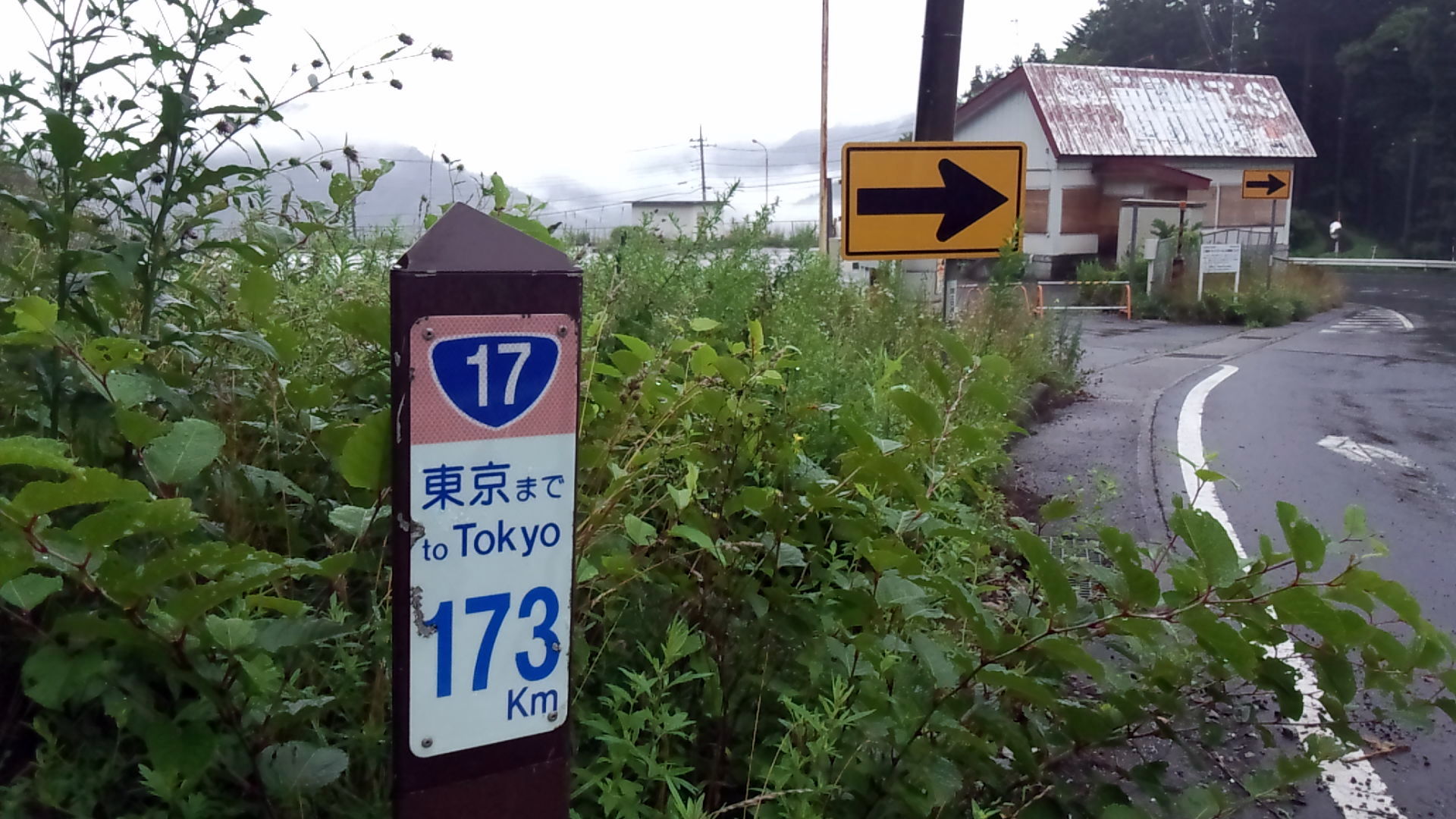
| Description | 上越国境の三国峠トラックステーションが、平成24年9月末日に閉鎖されました。 昭和59年11月の供用開始から約28年間お疲れ様でした。 長い間ありがとうございました。 所在地情報 国道17号上り車線(東京方)173キロポストの直ぐ隣です。 群馬県利根郡みなかみ町永井76-1 | ||
| Date | Taken on 26 July 2013 | ||
| Source | https://web.archive.org/web/20161028043054/http://www.panoramio.com/photo/93967884 | ||
| Author | Japanese Railroad Cr… | ||
| Permission (Reusing this file) |
This file is licensed under the Creative Commons Attribution 3.0 Unported license. Attribution: Japanese Railroad Cr…
|
||
| Tags (from Panoramio photo page) | Minakami |
| Camera location | | View this and other nearby images on: OpenStreetMap |
|---|
File history
Click on a date/time to view the file as it appeared at that time.
| Date/Time | Thumbnail | Dimensions | User | Comment | |
|---|---|---|---|---|---|
| current | 15:58, 2 March 2017 | | 1,920 × 1,080 (332 KB) | Panoramio upload bot (talk | contribs) | == {{int:filedesc}} == {{Information |description=上越国境の三国峠トラックステーションが、平成24年9月末日に閉鎖されました。 昭和59年11月の供用開始から約28年間お疲れ様でした。... |
You cannot overwrite this file.
File usage on Commons
There are no pages that use this file.