File:جسر؟.jpg
From Wikimedia Commons, the free media repository
Jump to navigation
Jump to search
![File:جسر؟.jpg](https://upload.wikimedia.org/wikipedia/commons/thumb/d/d9/%D8%AC%D8%B3%D8%B1%D8%9F.jpg/800px-%D8%AC%D8%B3%D8%B1%D8%9F.jpg?20140419191227)
Size of this preview: 800 × 600 pixels. Other resolutions: 320 × 240 pixels | 640 × 480 pixels | 1,024 × 768 pixels | 1,280 × 960 pixels | 2,560 × 1,920 pixels.
Original file (2,560 × 1,920 pixels, file size: 985 KB, MIME type: image/jpeg)
File information
Structured data
Captions
Captions
Add a one-line explanation of what this file represents
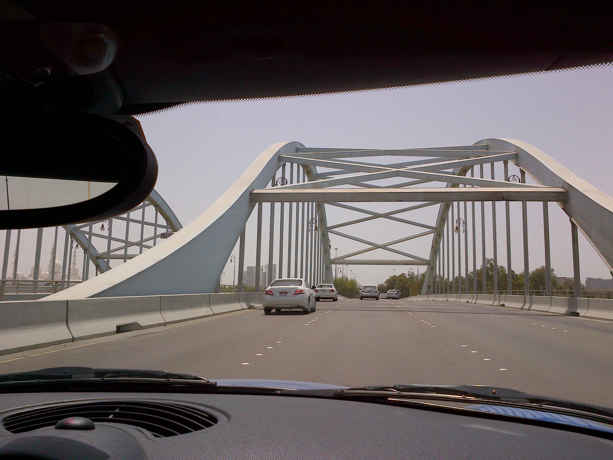
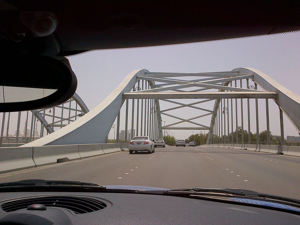
Descriptionجسر؟.jpg | مصفح يمكن؟ | ||
Date | |||
Source | Flickr: جسر؟ | ||
Author | Ali from Riyadh : ) | ||
Permission (Reusing this file) |
![]() ![]() This file is licensed under the Creative Commons Attribution 2.0 Generic license.
|
Camera location | 24° 25′ 14.46″ N, 54° 29′ 12.48″ E ![]() | View this and other nearby images on: OpenStreetMap | ![]() |
---|
File history
Click on a date/time to view the file as it appeared at that time.
Date/Time | Thumbnail | Dimensions | User | Comment | |
---|---|---|---|---|---|
current | 19:12, 19 April 2014 | ![]() | 2,560 × 1,920 (985 KB) | Flickr upload bot (talk | contribs) | Uploaded from http://flickr.com/photo/12495850@N05/7290628020 using Flickr upload bot |
You cannot overwrite this file.
File usage on Commons
The following page uses this file:
Metadata
This file contains additional information such as Exif metadata which may have been added by the digital camera, scanner, or software program used to create or digitize it. If the file has been modified from its original state, some details such as the timestamp may not fully reflect those of the original file. The timestamp is only as accurate as the clock in the camera, and it may be completely wrong.
Camera manufacturer | Research In Motion |
---|---|
Camera model | BlackBerry 9900 |
Exposure time | 0/1 sec (0) |
Date and time of data generation | 13:38, 10 May 2012 |
Latitude | 24° 25′ 14.46″ N |
Longitude | 54° 29′ 12.48″ E |
Altitude | 18 meters below sea level |
Orientation | Normal |
Horizontal resolution | 72 dpi |
Vertical resolution | 72 dpi |
Software used | Rim Exif Version1.00a |
File change date and time | 13:38, 10 May 2012 |
Y and C positioning | Co-sited |
Exif version | 2.2 |
Meaning of each component |
|
Subject distance | 0 meters |
Light source | Unknown |
Flash | Flash did not fire, No flash function |
Color space | sRGB |
Speed unit | Kilometers per hour |
Speed of GPS receiver | 1 |
Reference for direction of image | Magnetic direction |
Direction of image | 262.08 |
GPS tag version | 84.84.05.05 |