File:המפל הגבוהה.jpg
![File:המפל הגבוהה.jpg](https://upload.wikimedia.org/wikipedia/commons/thumb/8/86/%D7%94%D7%9E%D7%A4%D7%9C_%D7%94%D7%92%D7%91%D7%95%D7%94%D7%94.jpg/800px-%D7%94%D7%9E%D7%A4%D7%9C_%D7%94%D7%92%D7%91%D7%95%D7%94%D7%94.jpg?20170929141632)
Original file (3,952 × 2,706 pixels, file size: 3.06 MB, MIME type: image/jpeg)
Captions
Captions
Summary
[edit]Descriptionהמפל הגבוהה.jpg |
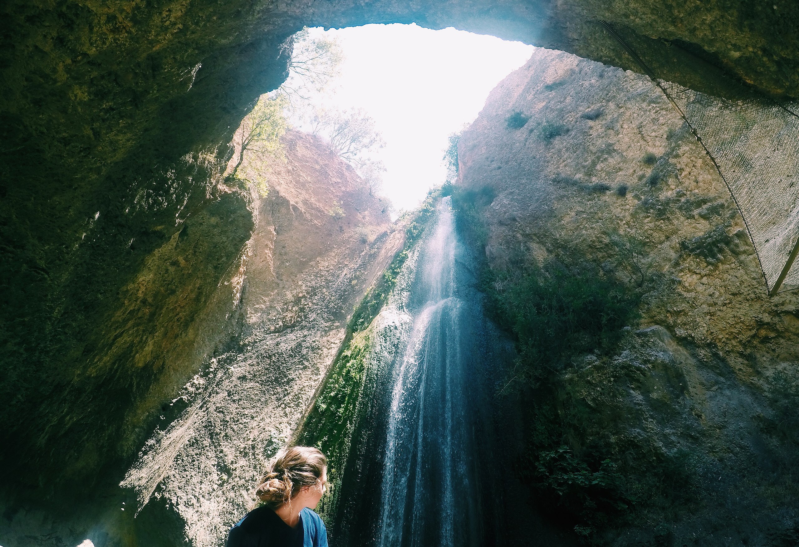
עברית: נחל עִיּוֹן הוא נחל הזורם מעמק עיון שבדרום לבנון, דרומה אל תוך שטח ישראל, ומהווה יובל של נהר הירדן. חלקו העליון מכונה בערבית ואדי דרדרה או ואדי ח'ראר, וחלקו התחתון, מדרום למטולה, נקרא ואדי ברע'ית.
|
||
Date | |||
Source | Own work | ||
Author | Gefenyo |
Camera location | 33° 16′ 11.42″ N, 35° 34′ 40.26″ E ![]() | View this and other nearby images on: OpenStreetMap | ![]() |
---|
Licensing
[edit]![w:en:Creative Commons](https://upload.wikimedia.org/wikipedia/commons/thumb/7/79/CC_some_rights_reserved.svg/90px-CC_some_rights_reserved.svg.png)
![attribution](https://upload.wikimedia.org/wikipedia/commons/thumb/1/11/Cc-by_new_white.svg/24px-Cc-by_new_white.svg.png)
![share alike](https://upload.wikimedia.org/wikipedia/commons/thumb/d/df/Cc-sa_white.svg/24px-Cc-sa_white.svg.png)
- You are free:
- to share – to copy, distribute and transmit the work
- to remix – to adapt the work
- Under the following conditions:
- attribution – You must give appropriate credit, provide a link to the license, and indicate if changes were made. You may do so in any reasonable manner, but not in any way that suggests the licensor endorses you or your use.
- share alike – If you remix, transform, or build upon the material, you must distribute your contributions under the same or compatible license as the original.
![]() |
This image was uploaded as part of Wiki Loves Monuments 2017.
Afrikaans ∙ Alemannisch ∙ azərbaycanca ∙ Bahasa Indonesia ∙ Bahasa Melayu ∙ Bikol Central ∙ bosanski ∙ brezhoneg ∙ català ∙ čeština ∙ Cymraeg ∙ dansk ∙ davvisámegiella ∙ Deutsch ∙ eesti ∙ English ∙ español ∙ Esperanto ∙ euskara ∙ français ∙ Frysk ∙ Gaeilge ∙ galego ∙ hrvatski ∙ Ido ∙ italiano ∙ latviešu ∙ Lëtzebuergesch ∙ Malagasy ∙ magyar ∙ Malti ∙ Nederlands ∙ norsk ∙ norsk nynorsk ∙ norsk bokmål ∙ polski ∙ português ∙ português do Brasil ∙ română ∙ shqip ∙ sicilianu ∙ slovenčina ∙ slovenščina ∙ suomi ∙ svenska ∙ Tagalog ∙ Türkçe ∙ Yorùbá ∙ Zazaki ∙ Ελληνικά ∙ беларуская ∙ беларуская (тарашкевіца) ∙ български ∙ кыргызча ∙ македонски ∙ русский ∙ српски / srpski ∙ українська ∙ ქართული ∙ հայերեն ∙ नेपाली ∙ हिन्दी ∙ বাংলা ∙ മലയാളം ∙ ไทย ∙ 한국어 ∙ +/− |
![]() |
File history
Click on a date/time to view the file as it appeared at that time.
Date/Time | Thumbnail | Dimensions | User | Comment | |
---|---|---|---|---|---|
current | 14:16, 29 September 2017 | ![]() | 3,952 × 2,706 (3.06 MB) | Gefenyo (talk | contribs) | User created page with UploadWizard |
You cannot overwrite this file.
File usage on Commons
The following page uses this file:
Metadata
This file contains additional information such as Exif metadata which may have been added by the digital camera, scanner, or software program used to create or digitize it. If the file has been modified from its original state, some details such as the timestamp may not fully reflect those of the original file. The timestamp is only as accurate as the clock in the camera, and it may be completely wrong.
Image title | DCIM\100GOPRO\GOPR0472. Processed with VSCO with c1 preset |
---|---|
Camera manufacturer | GoPro |
Camera model | HERO4 Silver |
Copyright holder | Copyright 2016. All rights reserved. |
Exposure time | 581/136,417 sec (0.0042589999780086) |
F-number | f/2.8 |
ISO speed rating | 100 |
Date and time of data generation | 11:45, 24 June 2016 |
Lens focal length | 3 mm |
User comments | Processed with VSCO with c1 preset |
Orientation | Normal |
Horizontal resolution | 72 dpi |
Vertical resolution | 72 dpi |
Software used | VSCO |
File change date and time | 11:45, 24 June 2016 |
Y and C positioning | Centered |
Exposure Program | Normal program |
Exif version | 2.21 |
Date and time of digitizing | 11:45, 24 June 2016 |
Meaning of each component |
|
Image compression mode | 14,461,165 |
APEX shutter speed | 7.875 |
APEX aperture | 2.97 |
APEX exposure bias | 0 |
Maximum land aperture | 2.97 APEX (f/2.8) |
Subject distance | 0 meters |
Metering mode | Center weighted average |
Light source | Unknown |
Flash | Flash did not fire, No flash function |
Supported Flashpix version | 1 |
Color space | sRGB |
Exposure index | 0 |
Sensing method | One-chip color area sensor |
File source | Digital still camera |
Scene type | A directly photographed image |
Custom image processing | Normal process |
Exposure mode | Auto exposure |
White balance | Auto white balance |
Digital zoom ratio | 1 |
Focal length in 35 mm film | 15 mm |
Scene capture type | Standard |
Scene control | None |
Contrast | Normal |
Saturation | Normal |
Sharpness | Hard |
Subject distance range | Unknown |
IIM version | 2 |
Structured data
Items portrayed in this file
depicts
24 June 2016
33°16'11.420"N, 35°34'40.260"E
0.00425899997800860596 second
2.8
3 millimetre
100
image/jpeg
- Heritage sites in Israel with known IDs
- Heritage sites in Israel missing SDC location of creation
- Files with coordinates missing SDC location of creation
- CC-BY-SA-4.0
- Self-published work
- Images from Wiki Loves Monuments 2017
- Images from Wiki Loves Monuments 2017 in Israel
- Images from Wiki Loves Monuments missing SDC location of creation
- Uploaded via Campaign:wlm-il
- Israel photographs taken on 2016-06-24