File:בית הכנסת הגדול של חיפה - הדר הכרמל (10).JPG
Jump to navigation
Jump to search

Size of this preview: 400 × 600 pixels. Other resolutions: 160 × 240 pixels | 320 × 480 pixels | 512 × 768 pixels | 682 × 1,024 pixels | 1,365 × 2,048 pixels | 2,880 × 4,320 pixels.
Original file (2,880 × 4,320 pixels, file size: 3.94 MB, MIME type: image/jpeg)
Captions
Captions
Add a one-line explanation of what this file represents
Summary
[edit].JPG&action=edit§ion=1)
| Description |
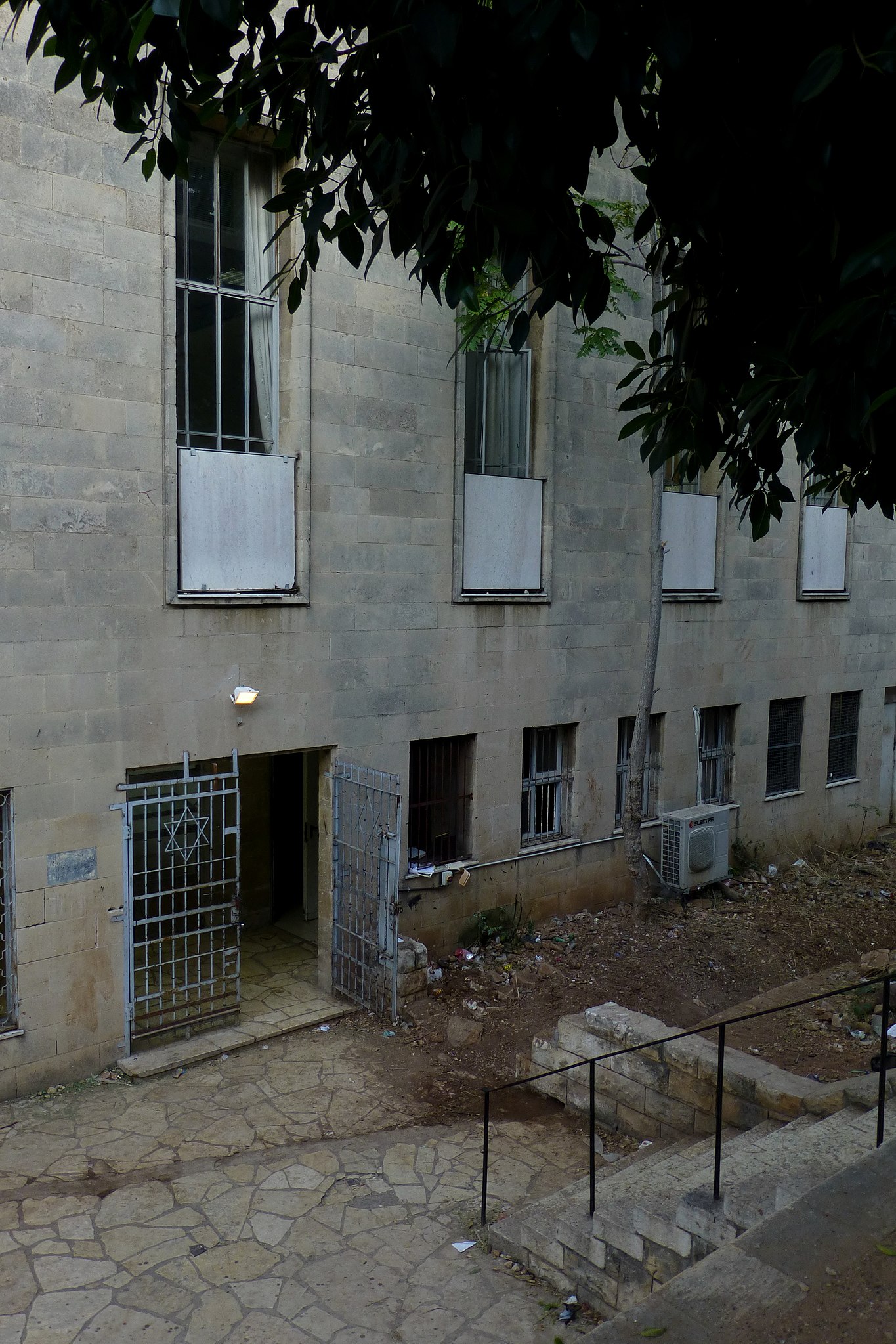
עברית: בית הכנסת הגדול של חיפה, רח' הרב הרצוג 5
|
||
| Date | |||
| Source | Own work | ||
| Author | Chenspec |
| Camera location | | View this and other nearby images on: OpenStreetMap |
|---|
.JPG¶ms=032.806453_N_0035.001339_E_globe:Earth_type:camera__&language=en)
Licensing
[edit].JPG&action=edit§ion=2)
I, the copyright holder of this work, hereby publish it under the following license:
This file is licensed under the Creative Commons Attribution-Share Alike 3.0 Unported license.
- You are free:
- to share – to copy, distribute and transmit the work
- to remix – to adapt the work
- Under the following conditions:
- attribution – You must give appropriate credit, provide a link to the license, and indicate if changes were made. You may do so in any reasonable manner, but not in any way that suggests the licensor endorses you or your use.
- share alike – If you remix, transform, or build upon the material, you must distribute your contributions under the same or compatible license as the original.

|
This image was uploaded as part of Wiki Loves Monuments 2013.
|
 |
File history
Click on a date/time to view the file as it appeared at that time.
| Date/Time | Thumbnail | Dimensions | User | Comment | |
|---|---|---|---|---|---|
| current | 06:24, 12 October 2013 | | 2,880 × 4,320 (3.94 MB) | Chenspec (talk | contribs) | User created page with UploadWizard |
You cannot overwrite this file.
File usage on Commons
There are no pages that use this file.
File usage on other wikis
The following other wikis use this file:
- Usage on he.wikipedia.org
- פורטל:אתרי מורשת בישראל/רשימת אתרי המורשת בישראל/אתרי מורשת במחוז חיפה
- ויקיפדיה:מיזמי ויקיפדיה/ויקיפדיה אוהבת אתרי מורשת/אתרי מורשת בחיפה/תחרות 2013
- ויקיפדיה:מיזמי ויקיפדיה/ויקיפדיה אוהבת אתרי מורשת/אתרי מורשת בחיפה/תחרות 2014
- ויקיפדיה:מיזמי ויקיפדיה/ויקיפדיה אוהבת אתרי מורשת/אתרי מורשת בחיפה/תחרות 2015
- ויקיפדיה:מיזמי ויקיפדיה/ויקיפדיה אוהבת אתרי מורשת/אתרי מורשת בחיפה/תחרות 2016
- ויקיפדיה:מיזמי ויקיפדיה/ויקיפדיה אוהבת אתרי מורשת/אתרי מורשת בחיפה/תחרות 2017
- ויקיפדיה:מיזמי ויקיפדיה/ויקיפדיה אוהבת אתרי מורשת/אתרי מורשת בחיפה/תחרות 2018
- ויקיפדיה:מיזמי ויקיפדיה/ויקיפדיה אוהבת אתרי מורשת/אתרי מורשת בחיפה/תחרות 2020
- ויקיפדיה:מיזמי ויקיפדיה/ויקיפדיה אוהבת אתרי מורשת/אתרי מורשת בחיפה/תחרות 2021
.JPG&oldid=549620875)