File:Шовдан-Юрт. Гудермес. Чечня. карта 1834 г.jpg
Jump to navigation
Jump to search
Size of this preview: 800 × 410 pixels. Other resolutions: 320 × 164 pixels | 640 × 328 pixels | 1,053 × 540 pixels.
Original file (1,053 × 540 pixels, file size: 128 KB, MIME type: image/jpeg)
Captions
Captions
Add a one-line explanation of what this file represents
Summary
[edit]
| Description |
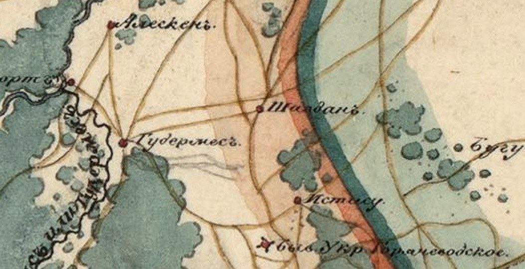
Русский: Шовдан-Юрт. Гудермес. Чечня. карта 1834 г.
Карта Закавказского края с приграничными землями, составленная из материалов генерального штаба отдельного Кавказского корпуса в 1834 году. Масштаб в английском дюйме 20 верст. |
| Date | |
| Source | http://www.etomesto.ru/map-europe_kavkaz_1834/ |
| Author | Карта Закавказского края с приграничными землями, составленная из материалов генерального штаба отдельного Кавказского корпуса в 1834 году. Масштаб в английском дюйме 20 верст. |
Licensing
[edit]
|
This work is in the public domain in its country of origin and other countries and areas where the copyright term is the author's life plus 70 years or fewer. This work is in the public domain in the United States because it was published (or registered with the U.S. Copyright Office) before January 1, 1929. | |
| This file has been identified as being free of known restrictions under copyright law, including all related and neighboring rights. | |
File history
Click on a date/time to view the file as it appeared at that time.
| Date/Time | Thumbnail | Dimensions | User | Comment | |
|---|---|---|---|---|---|
| current | 09:08, 12 November 2023 | | 1,053 × 540 (128 KB) | Товболатов (talk | contribs) | Цветная карта |
| 17:45, 3 December 2021 |  | 386 × 296 (57 KB) | Товболатов (talk | contribs) | Uploaded a work by Карта Закавказского края с приграничными землями, составленная из материалов генерального штаба отдельного Кавказского корпуса в 1834 году. Масштаб в английском дюйме 20 верст. from http://www.etomesto.ru/map-europe_kavkaz_1834/ with UploadWizard |
You cannot overwrite this file.
File usage on Commons
There are no pages that use this file.
File usage on other wikis
The following other wikis use this file:
- Usage on ru.wikipedia.org