File:Слобода Вислоцька - Мапа України (поч.ХХІ ст.).png
Jump to navigation
Jump to search
No higher resolution available.
Слобода_Вислоцька_-_Мапа_України_(поч.ХХІ_ст.).png (761 × 510 pixels, file size: 109 KB, MIME type: image/png)
Captions
Captions
Add a one-line explanation of what this file represents
| Description |
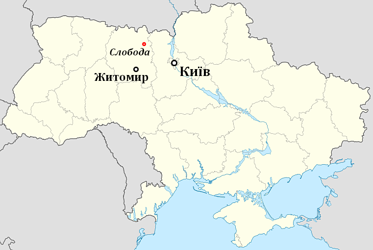
Українська: Розташування с.Слобода на мапі України. |
||
| Date | |||
| Source | Own work | ||
| Author | PPavloP | ||
| Permission (Reusing this file) |
PPavloP at the Ukrainian language Wikipedia, the copyright holder of this work, hereby publishes it under the following license:
|

Original upload log
[edit].png&action=edit§ion=1)
Transferred from uk.wikipedia to Commons using UWCTransferBot v.2.1.2 based on Chris G's botclasses framework.
The original description page was here. All following user names refer to uk.wikipedia.
- 2014-10-25 19:03 PPavloP 761×510×8 (111739 bytes) {{Зображення |Опис=Розташування с.Слобода на мапі України. |Автор=PPavloP |Джерело=2014 PPavloP |Час створення=01.01.2005р. |Ліцензія=Мапа:Big red boat 2005.jpg }}
File history
Click on a date/time to view the file as it appeared at that time.
| Date/Time | Thumbnail | Dimensions | User | Comment | |
|---|---|---|---|---|---|
| current | 22:07, 2 March 2015 | | 761 × 510 (109 KB) | UWCTransferBot (talk | contribs) | file was transfered from Ukrainian Wikipedia |
You cannot overwrite this file.
File usage on Commons
There are no pages that use this file.
.png&oldid=707223520)