File:Пер. Кооперативный - panoramio.jpg
Jump to navigation
Jump to search

Size of this preview: 800 × 370 pixels. Other resolutions: 320 × 148 pixels | 640 × 296 pixels | 1,280 × 592 pixels.
Original file (1,280 × 592 pixels, file size: 857 KB, MIME type: image/jpeg)
Captions
Captions
Add a one-line explanation of what this file represents
Summary
[edit]
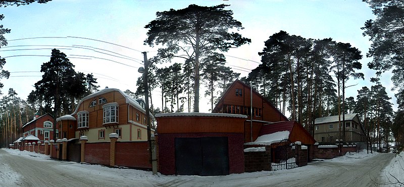
| Description | пер. Кооперативный | ||
| Date | Taken on 27 February 2012 | ||
| Source | https://web.archive.org/web/20161022012626/http://www.panoramio.com/photo/67834694 | ||
| Author | Михаил Соловьев | ||
| Permission (Reusing this file) |
This file is licensed under the Creative Commons Attribution-Share Alike 3.0 Unported license. Attribution: Михаил Соловьев
|
||
| Tags (from Panoramio photo page) | Timiryazevskoye, 2012, Панорама, Россия, Тимирязевский |
| Camera location | | View this and other nearby images on: OpenStreetMap |
|---|
File history
Click on a date/time to view the file as it appeared at that time.
| Date/Time | Thumbnail | Dimensions | User | Comment | |
|---|---|---|---|---|---|
| current | 16:45, 28 December 2016 | | 1,280 × 592 (857 KB) | Panoramio upload bot (talk | contribs) | == {{int:filedesc}} == {{Information |description=пер. Кооперативный |date={{Taken on|2012-02-27}} |source=http://www.panoramio.com/photo/67834694 |author=[http://www.panoramio.com/user/5841662?with_photo_id=67834694 Михаил Сол... |
You cannot overwrite this file.
File usage on Commons
The following page uses this file:
File usage on other wikis
The following other wikis use this file:
- Usage on arz.wikipedia.org
- Usage on ceb.wikipedia.org
- Usage on hy.wikipedia.org
- Usage on ru.wikipedia.org
- Usage on uk.wikipedia.org
- Usage on www.wikidata.org