File:Пам’ятний знак на місці оборонних боїв радянських військ восени 1941р.jpg
Original file (2,630 × 1,536 pixels, file size: 1.47 MB, MIME type: image/jpeg)
Captions
Summary
[edit]DescriptionПам’ятний знак на місці оборонних боїв радянських військ восени 1941р.jpg |
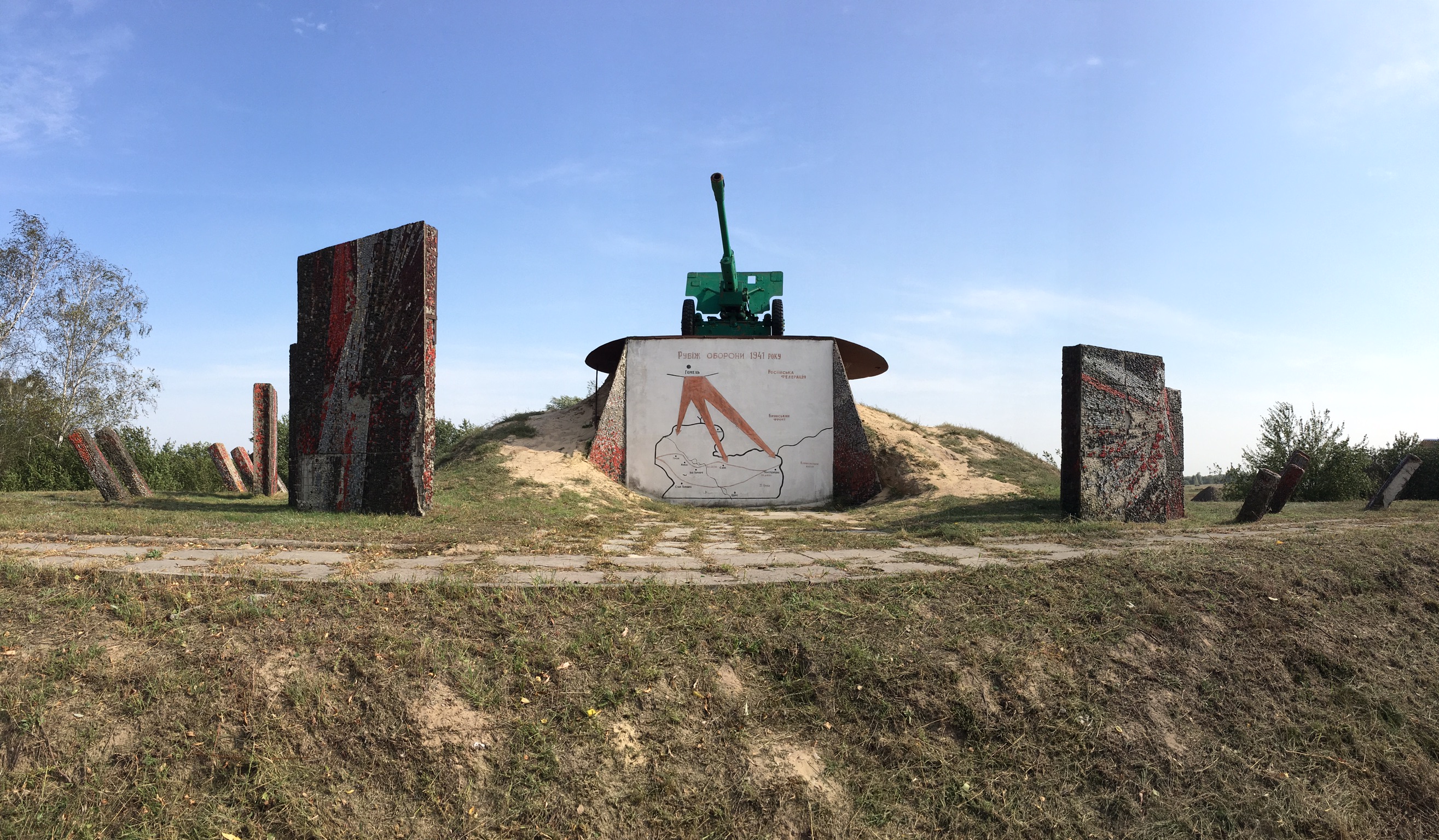
Українська: Пам’ятний знак на місці оборонних боїв радянських військ восени 1941р., Сновськ (Щорс), на околиці в бік с. Гвоздівки
|
||
Date | |||
Source | Own work | ||
Author | Arth Kura |
Camera location | 51° 50′ 00.7″ N, 31° 54′ 26.4″ E | View this and other nearby images on: OpenStreetMap | 51.833528; 31.907333 |
---|
Licensing
[edit]- You are free:
- to share – to copy, distribute and transmit the work
- to remix – to adapt the work
- Under the following conditions:
- attribution – You must give appropriate credit, provide a link to the license, and indicate if changes were made. You may do so in any reasonable manner, but not in any way that suggests the licensor endorses you or your use.
- share alike – If you remix, transform, or build upon the material, you must distribute your contributions under the same or compatible license as the original.
This image was uploaded as part of Wiki Loves Monuments 2020.
Afrikaans ∙ Alemannisch ∙ azərbaycanca ∙ Bahasa Indonesia ∙ Bahasa Melayu ∙ Bikol Central ∙ bosanski ∙ brezhoneg ∙ català ∙ čeština ∙ Cymraeg ∙ dansk ∙ davvisámegiella ∙ Deutsch ∙ eesti ∙ English ∙ español ∙ Esperanto ∙ euskara ∙ français ∙ Frysk ∙ Gaeilge ∙ galego ∙ hrvatski ∙ Ido ∙ italiano ∙ latviešu ∙ Lëtzebuergesch ∙ Malagasy ∙ magyar ∙ Malti ∙ Nederlands ∙ norsk ∙ norsk nynorsk ∙ norsk bokmål ∙ polski ∙ português ∙ português do Brasil ∙ română ∙ shqip ∙ sicilianu ∙ slovenčina ∙ slovenščina ∙ suomi ∙ svenska ∙ Tagalog ∙ Türkçe ∙ Yorùbá ∙ Zazaki ∙ Ελληνικά ∙ беларуская ∙ беларуская (тарашкевіца) ∙ български ∙ кыргызча ∙ македонски ∙ русский ∙ српски / srpski ∙ українська ∙ ქართული ∙ հայերեն ∙ नेपाली ∙ हिन्दी ∙ বাংলা ∙ മലയാളം ∙ ไทย ∙ 한국어 ∙ +/− |
File history
Click on a date/time to view the file as it appeared at that time.
Date/Time | Thumbnail | Dimensions | User | Comment | |
---|---|---|---|---|---|
current | 20:49, 30 September 2020 | 2,630 × 1,536 (1.47 MB) | Arth Kura (talk | contribs) | Uploaded own work with UploadWizard |
You cannot overwrite this file.
File usage on Commons
The following 2 pages use this file:
Metadata
This file contains additional information such as Exif metadata which may have been added by the digital camera, scanner, or software program used to create or digitize it. If the file has been modified from its original state, some details such as the timestamp may not fully reflect those of the original file. The timestamp is only as accurate as the clock in the camera, and it may be completely wrong.
Camera manufacturer | Apple |
---|---|
Camera model | iPhone SE |
Exposure time | 1/1,261 sec (0.00079302141157811) |
F-number | f/2.2 |
ISO speed rating | 25 |
Date and time of data generation | 14:15, 17 September 2020 |
Lens focal length | 4.15 mm |
Latitude | 51° 50′ 0.7″ N |
Longitude | 31° 54′ 26.4″ E |
Altitude | 120.983 meters above sea level |
Horizontal resolution | 72 dpi |
Vertical resolution | 72 dpi |
Software used | 12.1.2 |
File change date and time | 14:15, 17 September 2020 |
Y and C positioning | Centered |
Exif version | 2.21 |
Date and time of digitizing | 14:15, 17 September 2020 |
Meaning of each component |
|
APEX shutter speed | 10.300391521534 |
APEX aperture | 2.2750070476914 |
APEX brightness | 10.193067703272 |
APEX exposure bias | 0 |
Metering mode | Pattern |
Flash | Flash did not fire |
DateTimeOriginal subseconds | 910 |
DateTimeDigitized subseconds | 910 |
Supported Flashpix version | 1 |
Color space | sRGB |
Sensing method | One-chip color area sensor |
Scene type | A directly photographed image |
Custom image processing | Panorama |
White balance | Auto white balance |
Focal length in 35 mm film | 29 mm |
Scene capture type | Standard |
GPS time (atomic clock) | 11:15 |
Speed unit | Kilometers per hour |
Speed of GPS receiver | 0.28 |
Reference for direction of image | Magnetic direction |
Direction of image | 179.32958984375 |
Reference for bearing of destination | Magnetic direction |
Bearing of destination | 179.32958984375 |
GPS date | 17 September 2020 |
Structured data
Items portrayed in this file
depicts
17 September 2020
51°50'0.701"N, 31°54'26.399"E
0.0007930214115781126 second
2.2
4.15 millimetre
image/jpeg
- Cultural heritage monuments in Ukraine with known IDs
- Cultural heritage monuments in Ukraine missing SDC depicts
- Cultural heritage monuments in Ukraine missing SDC location of creation
- Wiki Loves Monuments in Ukraine 2020 - Quality
- Files with coordinates missing SDC location of creation
- CC-BY-SA-4.0
- Self-published work
- Images from Wiki Loves Monuments 2020
- Images from Wiki Loves Monuments 2020 in Ukraine
- Images from Wiki Loves Monuments missing SDC depicts
- Images from Wiki Loves Monuments missing SDC location of creation
- Uploaded via Campaign:wlm-ua
- Ukraine photographs taken on 2020-09-17