File:Остров Себатик.png
Jump to navigation
Jump to search

Size of this preview: 789 × 599 pixels. Other resolutions: 316 × 240 pixels | 632 × 480 pixels | 999 × 759 pixels.
Original file (999 × 759 pixels, file size: 42 KB, MIME type: image/png)
Captions
Captions
Add a one-line explanation of what this file represents
Summary
[edit]
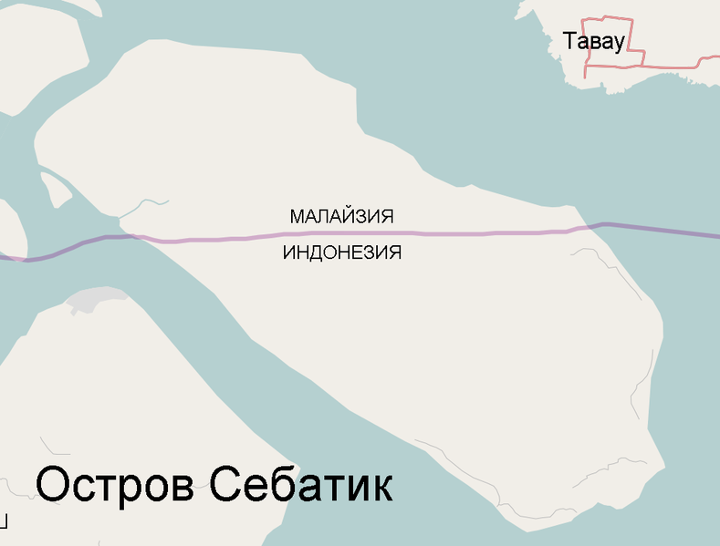
Русский: Остров Себатик
| Description |
This map was created from OpenStreetMap project data, collected by the community. This map may be incomplete, and may contain errors. Don't rely solely on it for navigation. |
| Date | (see file history) |
| Source | openstreetmap.org |
| Creator |
OpenStreetMap contributors |
| Permission (Reusing this file) |
OpenStreetMap data and maps are licensed under the Creative Commons Attribution-ShareAlike 2.0 license (CC-BY-SA 2.0). This file is licensed under the Creative Commons Attribution-Share Alike 2.0 Generic license.
|
| Georeferencing | If inappropriate please set warp_status = skip to hide. |
File history
Click on a date/time to view the file as it appeared at that time.
| Date/Time | Thumbnail | Dimensions | User | Comment | |
|---|---|---|---|---|---|
| current | 16:30, 11 December 2010 | | 999 × 759 (42 KB) | Insider (talk | contribs) | == Summary == {{ru|1=Остров Себатик}} {{OpenStreetMap}} Category:Islands of Indonesia Category:Islands of Malaysia Category:International islands |
You cannot overwrite this file.
File usage on Commons
There are no pages that use this file.
File usage on other wikis
The following other wikis use this file:
- Usage on ar.wikipedia.org
- Usage on az.wikipedia.org
- Usage on be.wikipedia.org
- Usage on ja.wikipedia.org
- Usage on kk.wikipedia.org
- Usage on pl.wikipedia.org
- Usage on ru.wikipedia.org
- Usage on vi.wikipedia.org