File:Лесная поляна в Тебердинском заповеднике.jpg
Original file (4,912 × 3,264 pixels, file size: 9.02 MB, MIME type: image/jpeg)
Captions
Summary
[edit]DescriptionЛесная поляна в Тебердинском заповеднике.jpg |
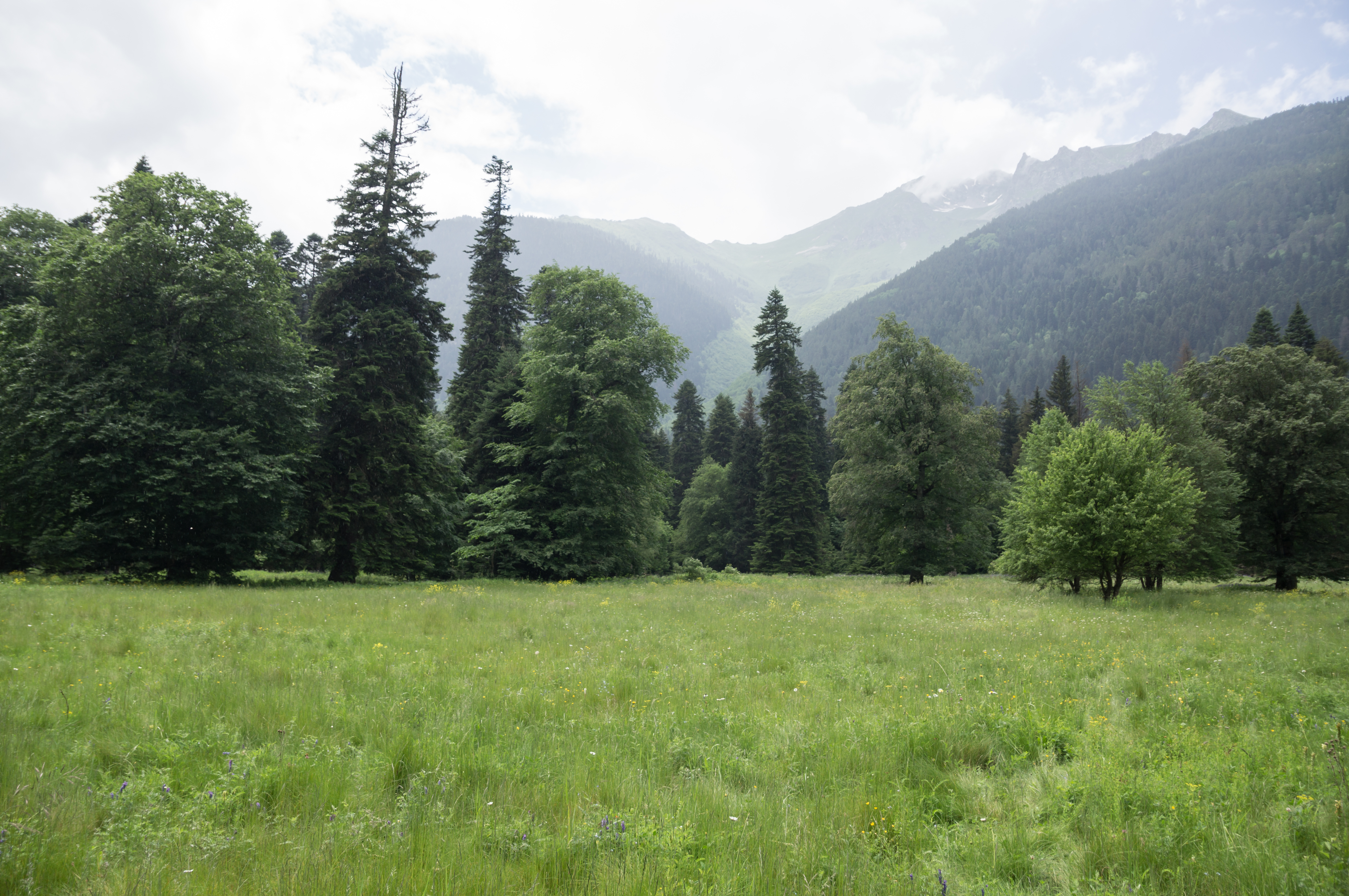
Русский: Тебердинский заповедник: Расположен заповедник на юге Карачаево-Черкесской Республики (КЧР), в пределах Главного Кавказского хребта,Зеленчукский район, Карачаево-Черкессия
|
|||
Date | Taken on 24 June 2013, 14:11:34 | |||
Source | http://www.vascoplanet.com/ | |||
Author | Vyacheslav Argenberg |
Camera location | 43° 20′ 48.55″ N, 41° 40′ 48.44″ E | View this and other nearby images on: OpenStreetMap | 43.346820; 41.680122 |
---|
This image was taken by Vyacheslav Argenberg
If you have any questions, comments or queries, please contact me. |
Licensing
[edit]- You are free:
- to share – to copy, distribute and transmit the work
- to remix – to adapt the work
- Under the following conditions:
- attribution – You must give appropriate credit, provide a link to the license, and indicate if changes were made. You may do so in any reasonable manner, but not in any way that suggests the licensor endorses you or your use.
- share alike – If you remix, transform, or build upon the material, you must distribute your contributions under the same or compatible license as the original.
This image was uploaded as part of Wiki Loves Earth 2016.
aragonés | العربية | asturianu | azərbaycanca | беларуская (тарашкевіца) | български | বাংলা | brezhoneg | català | čeština | Cymraeg | Deutsch | Ελληνικά | English | español | eesti | euskara | فارسی | français | galego | עברית | hrvatski | հայերեն | Bahasa Indonesia | italiano | 日本語 | ქართული | 한국어 | latviešu | македонски | മലയാളം | मराठी | Bahasa Melayu | norsk bokmål | नेपाली | Nederlands | norsk | polski | português | português do Brasil | русский | sicilianu | shqip | slovenščina | српски / srpski | svenska | ไทย | Türkçe | українська | اردو | 中文 | 中文(台灣) | +/− |
File history
Click on a date/time to view the file as it appeared at that time.
Date/Time | Thumbnail | Dimensions | User | Comment | |
---|---|---|---|---|---|
current | 21:09, 9 May 2016 | 4,912 × 3,264 (9.02 MB) | Vascooo (talk | contribs) | User created page with UploadWizard |
You cannot overwrite this file.
File usage on Commons
There are no pages that use this file.
File usage on other wikis
The following other wikis use this file:
- Usage on ru.wikivoyage.org
Metadata
This file contains additional information such as Exif metadata which may have been added by the digital camera, scanner, or software program used to create or digitize it. If the file has been modified from its original state, some details such as the timestamp may not fully reflect those of the original file. The timestamp is only as accurate as the clock in the camera, and it may be completely wrong.
Image title |
|
---|---|
Camera manufacturer | SONY |
Camera model | SLT-A55V |
Exposure time | 1/400 sec (0.0025) |
F-number | f/4 |
ISO speed rating | 100 |
Date and time of data generation | 14:11, 24 June 2013 |
Lens focal length | 17 mm |
Latitude | 43° 20′ 48.55″ N |
Longitude | 41° 40′ 48.44″ E |
Altitude | 556.1 meters above sea level |
Horizontal resolution | 300 dpi |
Vertical resolution | 300 dpi |
Software used | Adobe Photoshop Lightroom 4.2 (Windows) |
File change date and time | 14:52, 26 September 2013 |
Exposure Program | Aperture priority |
Exif version | 2.3 |
Date and time of digitizing | 14:11, 24 June 2013 |
APEX shutter speed | 8.643856 |
APEX aperture | 4 |
APEX brightness | 8.62 |
APEX exposure bias | 0 |
Maximum land aperture | 3 APEX (f/2.83) |
Metering mode | Pattern |
Light source | Unknown |
Flash | Flash did not fire, compulsory flash suppression |
Focal plane X resolution | 209.91452026367 |
Focal plane Y resolution | 209.91452026367 |
Focal plane resolution unit | 4 |
File source | Digital still camera |
Scene type | A directly photographed image |
Custom image processing | Normal process |
Exposure mode | Auto exposure |
White balance | Auto white balance |
Focal length in 35 mm film | 25 mm |
Scene capture type | Standard |
Contrast | Normal |
Saturation | Normal |
Sharpness | Normal |
GPS time (atomic clock) | 09:50 |
Receiver status | Measurement interoperability |
Measurement mode | 2-dimensional measurement |
Measurement precision | Moderate (2) |
Speed unit | Kilometers per hour |
Speed of GPS receiver | 1.3 |
Reference for direction of movement | True direction |
Direction of movement | 61.56 |
Geodetic survey data used | WGS-84 |
GPS date | 24 June 2013 |
GPS differential correction | 0 |
GPS tag version | 0.0.3.2 |
Lens used | 17-50mm F2.8 |
Date metadata was last modified | 18:52, 26 September 2013 |
Unique ID of original document | B27A6D87E47C2E4D8EFCFF6C32539CBE |
IIM version | 4 |
Structured data
Items portrayed in this file
depicts
24 June 2013
43°20'48.55200"N, 41°40'48.43801"E
0.0025 second
17 millimetre
100
image/jpeg
- Protected areas of Russia/0900019
- Protected areas of Russia with known IDs
- Russia photographs taken on 2013-06-24
- Files with coordinates missing SDC location of creation
- CC-BY-SA-4.0
- Self-published work
- Images from Wiki Loves Earth 2016
- Images from Wiki Loves Earth 2016 in Russia
- Images from Wiki Loves Earth missing SDC depicts
- Images from Wiki Loves Earth missing SDC location of creation
- Uploaded via Campaign:wle-ru
- Images from Wiki Loves Earth Biosphere Reserves 2016
- Photos by Vyacheslav Argenberg
- Photos by Vyacheslav Argenberg in Caucasus, Russia
- Photos by Vyacheslav Argenberg in 2013