File:Карта Кавказа12.jpg
Jump to navigation
Jump to search

Size of this preview: 800 × 535 pixels. Other resolutions: 320 × 214 pixels | 640 × 428 pixels | 1,024 × 685 pixels | 1,348 × 902 pixels.
Original file (1,348 × 902 pixels, file size: 862 KB, MIME type: image/jpeg)
Captions
Captions
Add a one-line explanation of what this file represents
Summary
[edit]
| Description |
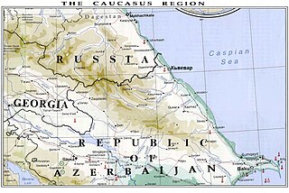
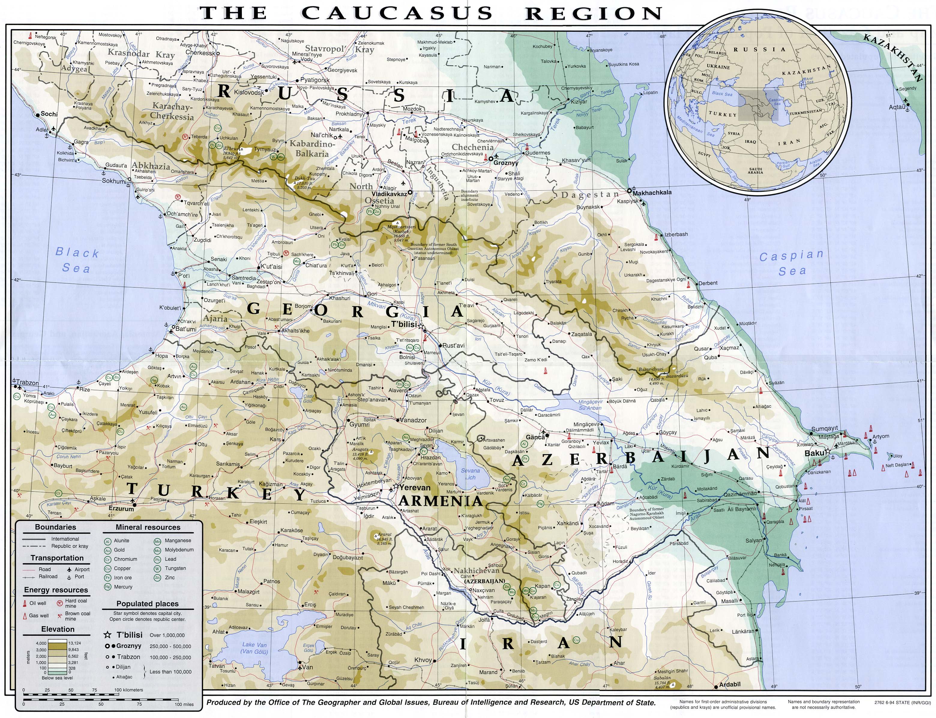
English: Caucasian map with a fictious boundary between Azerbaijan and Russia. The source map (see below) shows correct boundaries. |
| Date | |
| Source | The Caucasus region. 1994.jpg by the Office of The Geographer and Global Issues, Bureau of Intelligence and Research, US Department of State |
| Author | Lezgistxa |
Licensing
[edit]
I, the copyright holder of this work, hereby publish it under the following license:
This file is licensed under the Creative Commons Attribution-Share Alike 3.0 Unported license.
- You are free:
- to share – to copy, distribute and transmit the work
- to remix – to adapt the work
- Under the following conditions:
- attribution – You must give appropriate credit, provide a link to the license, and indicate if changes were made. You may do so in any reasonable manner, but not in any way that suggests the licensor endorses you or your use.
- share alike – If you remix, transform, or build upon the material, you must distribute your contributions under the same or compatible license as the original.
File history
Click on a date/time to view the file as it appeared at that time.
| Date/Time | Thumbnail | Dimensions | User | Comment | |
|---|---|---|---|---|---|
| current | 12:18, 12 September 2012 | | 1,348 × 902 (862 KB) | Melikov Memmed (talk | contribs) | Caucasian map |
| 05:08, 22 August 2012 |  | 1,348 × 902 (860 KB) | Melikov Memmed (talk | contribs) | Карта Кавказа | |
| 18:45, 18 August 2012 |  | 1,348 × 902 (856 KB) | Lezgistxa (talk | contribs) |
You cannot overwrite this file.
File usage on Commons
There are no pages that use this file.