File:Затопленный лес - panoramio - Alex A.jpg
Jump to navigation
Jump to search

Size of this preview: 799 × 599 pixels. Other resolutions: 320 × 240 pixels | 640 × 480 pixels | 1,024 × 768 pixels | 1,333 × 1,000 pixels.
Original file (1,333 × 1,000 pixels, file size: 400 KB, MIME type: image/jpeg)
Captions
Captions
Add a one-line explanation of what this file represents
| Description |
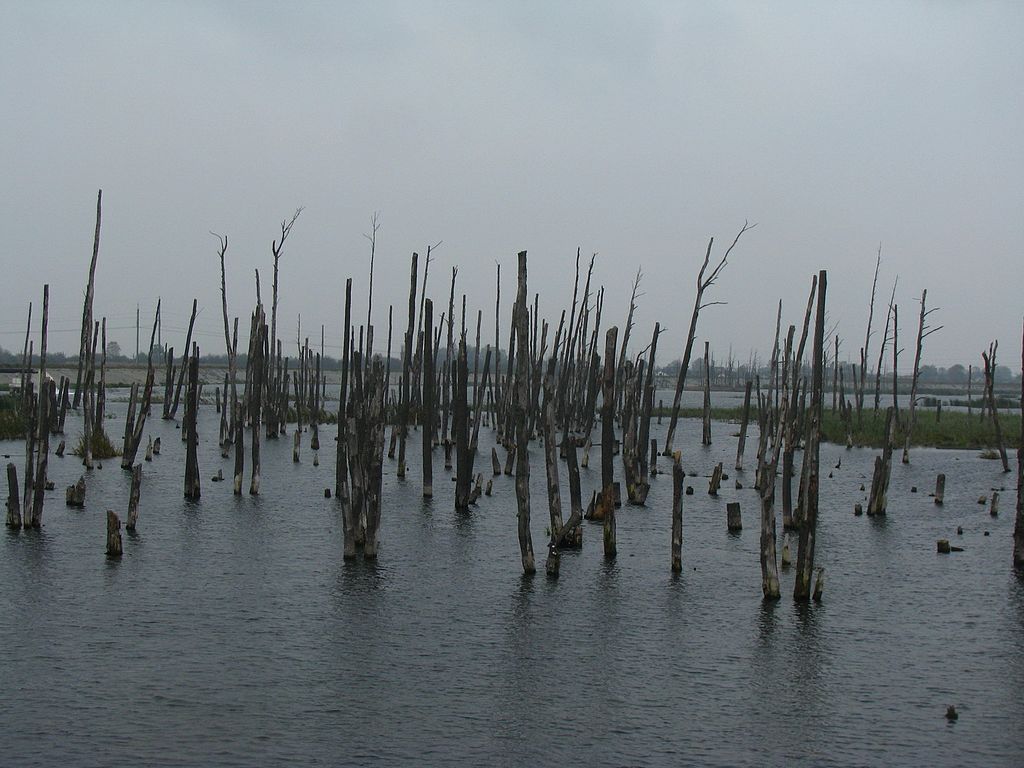
Затопленный лес Слуцкий район |
||
| Date | Taken on 6 October 2014 | ||
| Source | https://web.archive.org/web/20161103095027/http://www.panoramio.com/photo/132812480 | ||
| Author | Alex A | ||
| Permission (Reusing this file) |
This file is licensed under the Creative Commons Attribution 3.0 Unported license. Attribution: Alex A
|
| Camera location | | View this and other nearby images on: OpenStreetMap |
|---|
File history
Click on a date/time to view the file as it appeared at that time.
| Date/Time | Thumbnail | Dimensions | User | Comment | |
|---|---|---|---|---|---|
| current | 11:22, 30 October 2016 | | 1,333 × 1,000 (400 KB) | Panoramio upload bot (talk | contribs) | {{Information |description=Затопленный лес <p>Слуцкий район</p> |date={{Taken on|2014-10-06}} |source=http://www.panoramio.com/photo/132812480 |author=[http://www.panoramio.com/user/8030766?with_photo_id=132812480 Alex A] |pe... |
You cannot overwrite this file.
File usage on Commons
There are no pages that use this file.