File:Головино - panoramio.jpg
Jump to navigation
Jump to search
Size of this preview: 799 × 222 pixels. Other resolutions: 320 × 89 pixels | 640 × 178 pixels | 1,024 × 285 pixels | 1,280 × 356 pixels | 4,720 × 1,312 pixels.
Original file (4,720 × 1,312 pixels, file size: 988 KB, MIME type: image/jpeg)
Captions
Captions
Add a one-line explanation of what this file represents
Summary
[edit]
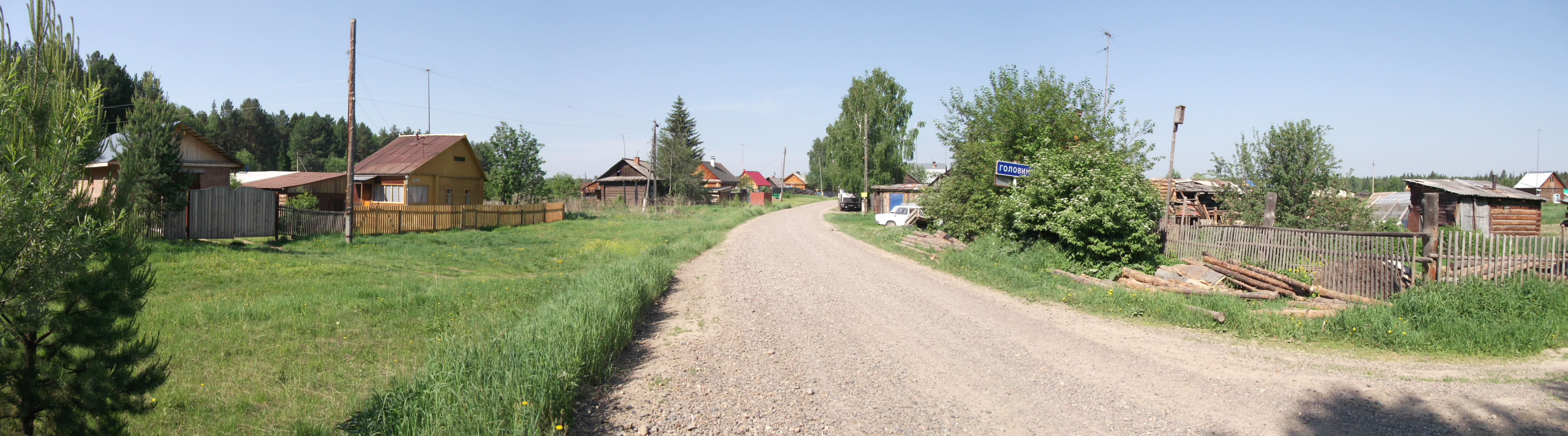
| Description | Головино | ||
| Date | Taken on 10 June 2012 | ||
| Source | https://web.archive.org/web/20161024182540/http://www.panoramio.com/photo/73587202 | ||
| Author | Михаил Соловьев | ||
| Permission (Reusing this file) |
This file is licensed under the Creative Commons Attribution-Share Alike 3.0 Unported license. Attribution: Михаил Соловьев
|
||
| Tags (from Panoramio photo page) | Tomsky District, Велосипед, Панорама, Томская область, Томские окрестности |
| Camera location | | View this and other nearby images on: OpenStreetMap |
|---|
File history
Click on a date/time to view the file as it appeared at that time.
| Date/Time | Thumbnail | Dimensions | User | Comment | |
|---|---|---|---|---|---|
| current | 01:09, 5 January 2017 | 4,720 × 1,312 (988 KB) | Panoramio upload bot (talk | contribs) | == {{int:filedesc}} == {{Information |description=Головино |date={{Taken on|2012-06-10}} |source=http://www.panoramio.com/photo/73587202 |author=[http://www.panoramio.com/user/5841662?with_photo_id=73587202 Михаил Соловьев] |permi... |
You cannot overwrite this file.
File usage on Commons
The following page uses this file:
File usage on other wikis
The following other wikis use this file:
- Usage on ce.wikipedia.org
- Usage on ru.wikipedia.org
- Usage on uk.wikipedia.org
- Usage on www.wikidata.org