File:Возера за Астрошыцамі - panoramio.jpg
Jump to navigation
Jump to search
Size of this preview: 799 × 248 pixels. Other resolutions: 320 × 99 pixels | 640 × 199 pixels | 1,024 × 318 pixels | 1,280 × 398 pixels | 2,560 × 795 pixels | 7,627 × 2,369 pixels.
Original file (7,627 × 2,369 pixels, file size: 5.15 MB, MIME type: image/jpeg)
Captions
Captions
Add a one-line explanation of what this file represents
Summary
[edit]
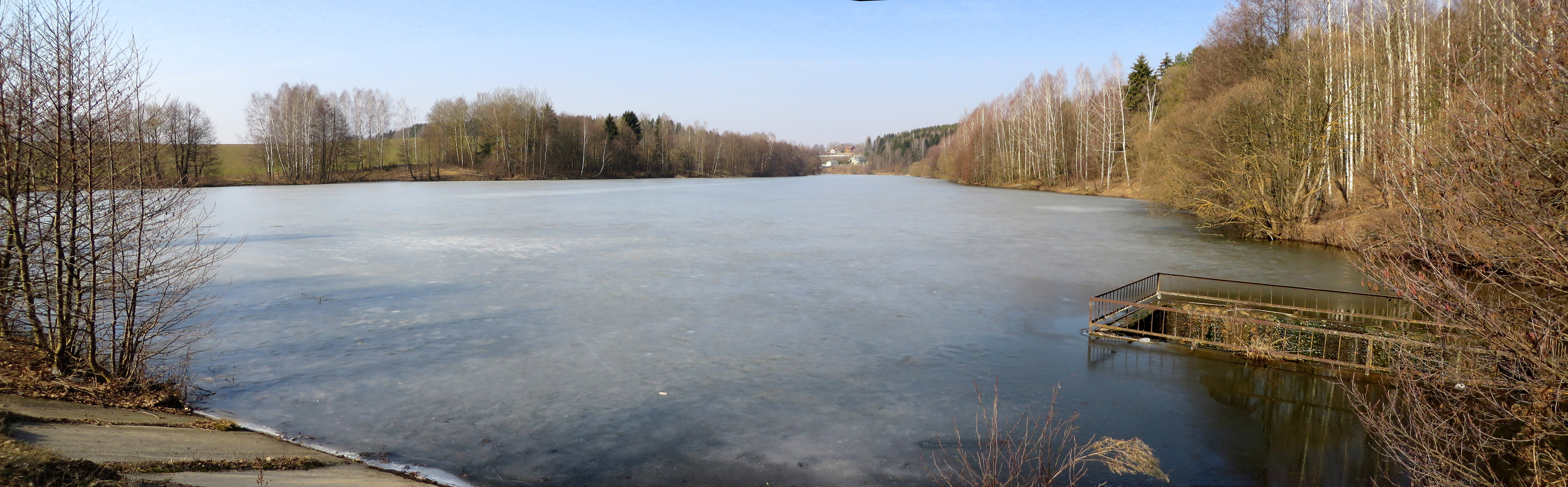
| Description | Возера за Астрошыцамі | ||
| Date | Taken on 20 March 2015 | ||
| Source | https://web.archive.org/web/20161031130902/http://www.panoramio.com/photo/117969525 | ||
| Author | Альгерд Чарняўскі | ||
| Permission (Reusing this file) |
This file is licensed under the Creative Commons Attribution-Share Alike 3.0 Unported license. Attribution: Альгерд Чарняўскі
|
||
| Panoramio Tags | Lahoisk District, 2015, Беларусь, Логойский район, Минская область, пруд, сажалка |
| Camera location | | View this and other nearby images on: OpenStreetMap |
|---|
File history
Click on a date/time to view the file as it appeared at that time.
| Date/Time | Thumbnail | Dimensions | User | Comment | |
|---|---|---|---|---|---|
| current | 11:20, 2 June 2017 | 7,627 × 2,369 (5.15 MB) | Panoramio upload bot (talk | contribs) | == {{int:filedesc}} == {{Information |description=Возера за Астрошыцамі |date={{Taken on|2015-03-20}} |source=http://www.panoramio.com/photo/117969525 |author=[http://www.panoramio.com/user/6834575?with_photo_id=117969525 Альге... |
You cannot overwrite this file.
File usage on Commons
There are no pages that use this file.