File:Бекерсдорф і Новосілка на мапі 1860-х років ХІХ століття.jpg
Jump to navigation
Jump to search

Size of this preview: 800 × 397 pixels. Other resolutions: 320 × 159 pixels | 640 × 317 pixels | 1,263 × 626 pixels.
Original file (1,263 × 626 pixels, file size: 392 KB, MIME type: image/jpeg)
Captions
Captions
Add a one-line explanation of what this file represents
Summary
[edit]
| Description |
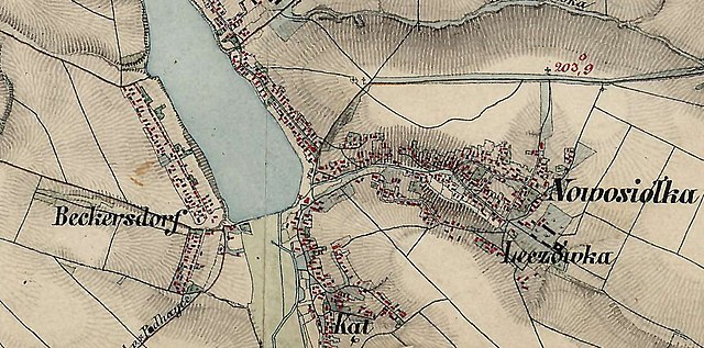
Українська: Німецька колонія Бекерсдорф і село Новосілка в околиці Підгайців на мапі 1860-х років ХІХ століття. |
| Date | before 1864 |
| Source | Galicia and Bucovina (1861–1864) - Second military survey of the Habsburg Empire |
| Author | Unknown author |
Licensing
[edit]
|
This work is in the public domain in its country of origin and other countries and areas where the copyright term is the author's life plus 100 years or fewer. This work is in the public domain in the United States because it was published (or registered with the U.S. Copyright Office) before January 1, 1929. | |
| This file has been identified as being free of known restrictions under copyright law, including all related and neighboring rights. | |
File history
Click on a date/time to view the file as it appeared at that time.
| Date/Time | Thumbnail | Dimensions | User | Comment | |
|---|---|---|---|---|---|
| current | 21:20, 31 May 2020 | | 1,263 × 626 (392 KB) | Микола Василечко (talk | contribs) | Uploaded a work by unknown from Galicia and Bucovina (1861–1864) - Second military survey of the Habsburg Empire with UploadWizard |
You cannot overwrite this file.
File usage on Commons
There are no pages that use this file.