File:Автошлях С201516 «Тернопіль — Петриків» (OpenStreetMap).jpg
Jump to navigation
Jump to search

Size of this preview: 800 × 600 pixels. Other resolutions: 320 × 240 pixels | 640 × 480 pixels | 880 × 660 pixels.
Original file (880 × 660 pixels, file size: 345 KB, MIME type: image/jpeg)
Captions
Captions
Add a one-line explanation of what this file represents
Summary
[edit].jpg&action=edit§ion=1)
| Description |
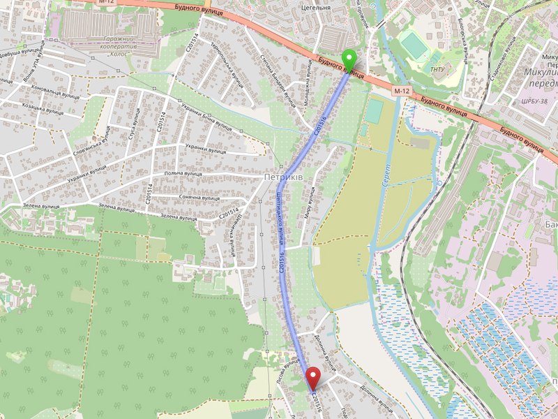
Українська: Автомобільний шлях районного значення С201516 «Тернопіль — Петриків» у Тернопільському районі Тернопільської области. |
|
| Date | ||
| Source | https://www.openstreetmap.org | |
| Author |
| |
| Attribution (required by the license) | The maps created by Mykola Vasylechko from OpenStreetMap. Мапа створена Миколою Василечком з мап сервісу OpenStreetMap. / |
|
File history
Click on a date/time to view the file as it appeared at that time.
| Date/Time | Thumbnail | Dimensions | User | Comment | |
|---|---|---|---|---|---|
| current | 07:38, 6 July 2019 | | 880 × 660 (345 KB) | Микола Василечко (talk | contribs) | User created page with UploadWizard |
You cannot overwrite this file.
File usage on Commons
There are no pages that use this file.
.jpg&oldid=723864119)