File:Žabník, potok, 300 m před soutokem s Bečvou, únor 2021,.jpg
Jump to navigation
Jump to search

Size of this preview: 800 × 369 pixels. Other resolutions: 320 × 148 pixels | 640 × 295 pixels | 1,024 × 472 pixels | 1,280 × 590 pixels | 4,000 × 1,844 pixels.
Original file (4,000 × 1,844 pixels, file size: 1.9 MB, MIME type: image/jpeg)
Captions
Captions
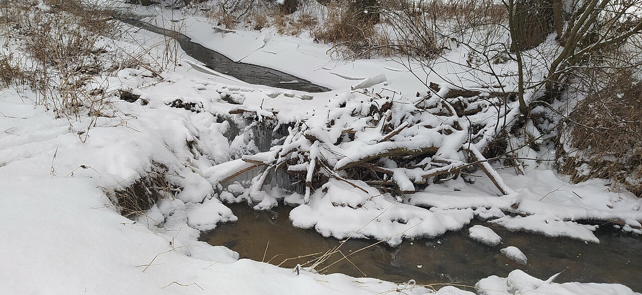
Žabník creek close to Bečva river, Czech Republic, February 2021
Summary
[edit]
| Description |
English: Žabník creek close to Bečva river, Czech Republic, February 2021 |
| Date | |
| Source | Own work |
| Author | Fry72 , Karel FRYDRÝŠEK |
| Permission (Reusing this file) |
I, the copyright holder of this work, hereby publish it under the following license: This file is licensed under the Creative Commons Attribution-Share Alike 4.0 International license.
|
| Camera location | | View this and other nearby images on: OpenStreetMap |
|---|
File history
Click on a date/time to view the file as it appeared at that time.
| Date/Time | Thumbnail | Dimensions | User | Comment | |
|---|---|---|---|---|---|
| current | 18:55, 13 February 2021 | | 4,000 × 1,844 (1.9 MB) | Fry72 (talk | contribs) | Uploaded own work with UploadWizard |
You cannot overwrite this file.
File usage on Commons
The following page uses this file:
File usage on other wikis
The following other wikis use this file:
- Usage on cs.wikipedia.org
- Usage on www.wikidata.org