File:Żory map.png
Jump to navigation
Jump to search
No higher resolution available.
Żory_map.png (250 × 250 pixels, file size: 18 KB, MIME type: image/png)
Captions
Captions
Add a one-line explanation of what this file represents
Summary
[edit]
|
File:POL Żory map.svg is a vector version of this file. It should be used in place of this PNG file when not inferior.
File:Żory map.png → File:POL Żory map.svg
For more information, see Help:SVG. |
 |
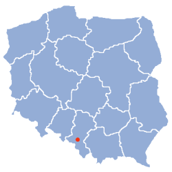
Location of Zory on a map of Poland Origin: Polish Wikipedia
Locator map based on a contour map by Halibutt
| Contour maps of administrative division of Poland • AD 1939 • AD 1957 • AD 1975 • AD 1999 • dummy • blank • flag |

|
Licensing
[edit]
Since the legal status of the above comment has been questioned, I hereby grant anyone the right to treat it as either a standard copyright notice, invariant section, legal statement, legal advice, friendly suggestion or a mere comment, depending on his or hers own choice. |
|

File history
Click on a date/time to view the file as it appeared at that time.
| Date/Time | Thumbnail | Dimensions | User | Comment | |
|---|---|---|---|---|---|
| current | 10:12, 27 March 2006 | | 250 × 250 (18 KB) | Polakko (talk | contribs) | Original picture created by Halibutt, modified by x.ul. |
You cannot overwrite this file.
File usage on Commons
The following page uses this file:
File usage on other wikis
The following other wikis use this file: