File:Łaziska (gmina) location map.png
Original file (746 × 1,130 pixels, file size: 190 KB, MIME type: image/png)
Captions
Captions
Summary
[edit]_location_map.png&action=edit§ion=1)
| Description |
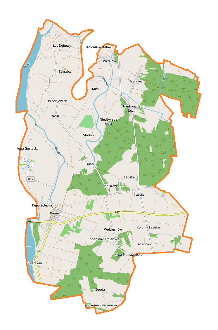
English: Location map |
| Date | |
| Source | Own work |
| Author | Smat |
| Description |
Polski: Mapa gminy Łaziska, Polska
English: Map of Łaziska (gmina), Poland |
|||||||||
| Date | ||||||||||
| Source | You may find a page on the OpenStreetMap wiki page for Łaziska (gmina) | |||||||||
| Creator |
OpenStreetMap contributors OpenStreetMap contributors |
|||||||||
| Permission (Reusing this file) |
OpenStreetMap data is available under the Open Database License (details). Map tiles are licensed under the Creative Commons Attribution-ShareAlike 2.0 license (CC-BY-SA 2.0).
This file is licensed under the Creative Commons Attribution-Share Alike 2.0 Generic license.
|
|||||||||
| Geotemporal data | ||||||||||
| Bounding box |
|
|||||||||
| Georeferencing | If inappropriate please set warp_status = skip to hide. | |||||||||
Licensing
[edit]_location_map.png&action=edit§ion=2)
| This work contains information from OpenStreetMap, which is made available under the Open Database License (ODbL).
The ODbL does not require any particular license for maps produced from ODbL data. Prior to 1 August 2020, map tiles produced by the OpenStreetMap Foundation were licensed under the CC-BY-SA-2.0 license. Maps produced by other people may be subject to other licences. |
File history
Click on a date/time to view the file as it appeared at that time.
| Date/Time | Thumbnail | Dimensions | User | Comment | |
|---|---|---|---|---|---|
| current | 13:46, 29 September 2017 | | 746 × 1,130 (190 KB) | Smat (talk | contribs) | User created page with UploadWizard |
You cannot overwrite this file.
File usage on Commons
There are no pages that use this file.
File usage on other wikis
The following other wikis use this file:
- Usage on pl.wikipedia.org
- Łaziska (gmina)
- Braciejowice
- Kępa Gostecka
- Kępa Piotrawińska
- Kępa Solecka
- Kolonia Łaziska
- Kopanina Kaliszańska
- Kopanina Kamieńska
- Las Dębowy
- Niedźwiada Duża
- Niedźwiada Mała
- Wrzelów
- Głodno (województwo lubelskie)
- Koło (województwo lubelskie)
- Zgoda (województwo lubelskie)
- Grabowiec (powiat opolski)
- Janiszów (powiat opolski)
- Kamień (powiat opolski)
- Łaziska (powiat opolski)
- Piotrawin (powiat opolski)
- Wojciechów (powiat opolski)
- Zakrzów (powiat opolski)
- Kosiorów (gmina Łaziska)
- Trzciniec (gmina Łaziska)
- Piotrawin-Kolonia
- Kamień-Kolonia (powiat opolski)
- Parafia św. Tomasza Apostoła i św. Stanisława w Piotrawinie
- Moduł:Mapa/dane/Łaziska (gmina)
- Kościół św. Stanisława Biskupa i św. Tomasza Apostoła w Piotrawinie
- Usage on pl.wikibooks.org
_location_map.png&oldid=708063844)