File:Übersicht-Edle-Krone-2017.png
Jump to navigation
Jump to search
Size of this preview: 634 × 599 pixels. Other resolutions: 254 × 240 pixels | 508 × 480 pixels | 813 × 768 pixels | 1,084 × 1,024 pixels | 2,019 × 1,908 pixels.
Original file (2,019 × 1,908 pixels, file size: 690 KB, MIME type: image/png)
Captions
Captions
Add a one-line explanation of what this file represents
Summary
[edit]
| Description |
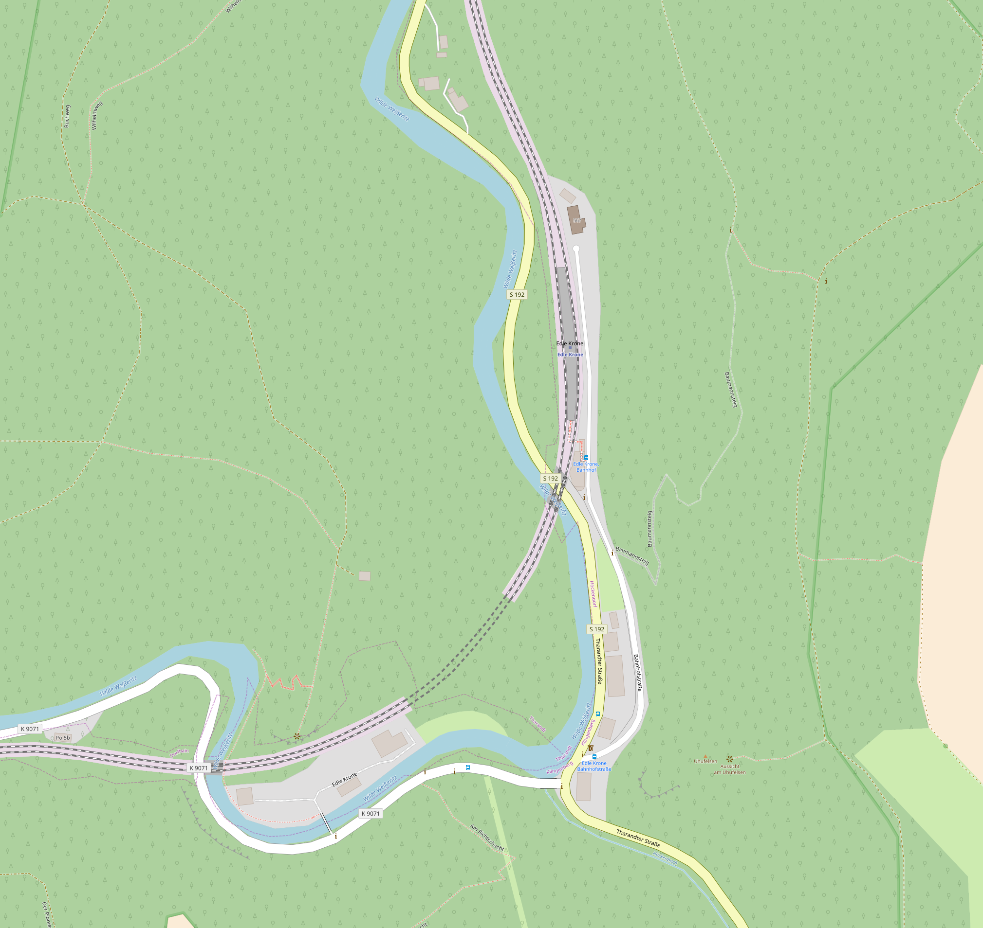
Deutsch: Übersichtskarte von Edle Krone, Landkreis Sächsische Schweiz-Osterzgebirge (Stand Oktober 2017)
English: Map of Edle Krone, Sächsische Schweiz-Osterzgebirge district, Saxony, Germany (per October 2017) |
| Date | |
| Source | OpenStreetMap |
| Author |
Deutsch: OpenStreetMap-Mitwirkende
English: Contributers to OpenStreetMap |
Licensing
[edit]
| Description |
This map of Edle Krone was created from OpenStreetMap project data, collected by the community. This map may be incomplete, and may contain errors. Don't rely solely on it for navigation. |
|||
| Date | ||||
| Source | openstreetmap.org | |||
| Creator |
OpenStreetMap contributors |
|||
| Permission (Reusing this file) |
OpenStreetMap data is available under the Open Database License (details). Map tiles are licensed under the Creative Commons Attribution-ShareAlike 2.0 license (CC-BY-SA 2.0).
This file is licensed under the Creative Commons Attribution-Share Alike 2.0 Generic license.
|
|||
| Georeferencing | If inappropriate please set warp_status = skip to hide. |
File history
Click on a date/time to view the file as it appeared at that time.
| Date/Time | Thumbnail | Dimensions | User | Comment | |
|---|---|---|---|---|---|
| current | 15:39, 22 October 2017 | | 2,019 × 1,908 (690 KB) | Kleeblatt187 (talk | contribs) | User created page with UploadWizard |
You cannot overwrite this file.
File usage on Commons
The following 2 pages use this file:
File usage on other wikis
The following other wikis use this file:
- Usage on de.wikipedia.org
- Usage on www.wikidata.org