File:Ávila de los Caballeros-19910412.jpg
Jump to navigation
Jump to search

Size of this preview: 800 × 531 pixels. Other resolutions: 320 × 212 pixels | 640 × 425 pixels | 1,024 × 679 pixels | 1,280 × 849 pixels | 2,560 × 1,698 pixels | 4,405 × 2,922 pixels.
Original file (4,405 × 2,922 pixels, file size: 2.02 MB, MIME type: image/jpeg)
Captions
Captions
Add a one-line explanation of what this file represents
Summary
[edit]
| Description |
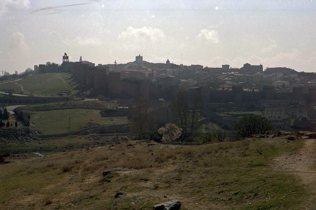
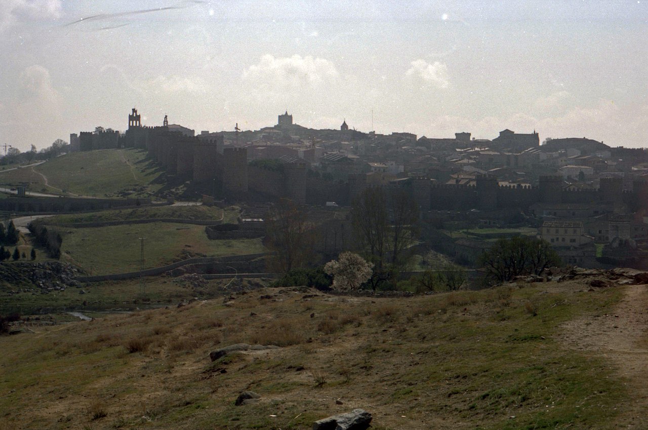
General view of Ávila, in 1991. | ||
| Camera | Zeiss Ikon Contessa LKE using 100 ASA Kodachrome film | ||
| Protections |
|
||
|
|||
| Date | Taken on 12 April 1991 | ||
| Source | Own work | ||
| Author | Daniel VILLAFRUELA. | ||
| Permission (Reusing this file) |
Daniel VILLAFRUELA, the copyright holder of this work, hereby publishes it under the following license: This file is licensed under the Creative Commons Attribution-Share Alike 4.0 International license. Attribution: Daniel VILLAFRUELA
|
| Object location | | View this and other nearby images on: OpenStreetMap |
|---|
| Camera location | | View this and other nearby images on: OpenStreetMap |
|---|
File history
Click on a date/time to view the file as it appeared at that time.
| Date/Time | Thumbnail | Dimensions | User | Comment | |
|---|---|---|---|---|---|
| current | 22:36, 3 February 2016 | | 4,405 × 2,922 (2.02 MB) | Daniel VILLAFRUELA (talk | contribs) | {{nobots}} =={{int:filedesc}}== {{Information |Description={{mld <!-- LangSwitch /--> |en= General view of {{w|Ávila | |en}} |es= Vista general de {{w| Ávila| |es}} |fr= Vue générale d'{{w| Ávila| |fr}}. }} {{Information field|Name=Protection... |
You cannot overwrite this file.
File usage on Commons
The following page uses this file: