File:"DEFENSE SYMBOL KEY" "SPECIAL AIR AND GUNNERY TARGET MAP" in October 1944, FROM- Iwo Jima Historical Map (Poster) (cropped).jpg
Jump to navigation
Jump to search

Size of this preview: 482 × 599 pixels. Other resolutions: 193 × 240 pixels | 627 × 779 pixels.
Original file (627 × 779 pixels, file size: 116 KB, MIME type: image/jpeg)
Captions
Captions
Add a one-line explanation of what this file represents
Summary
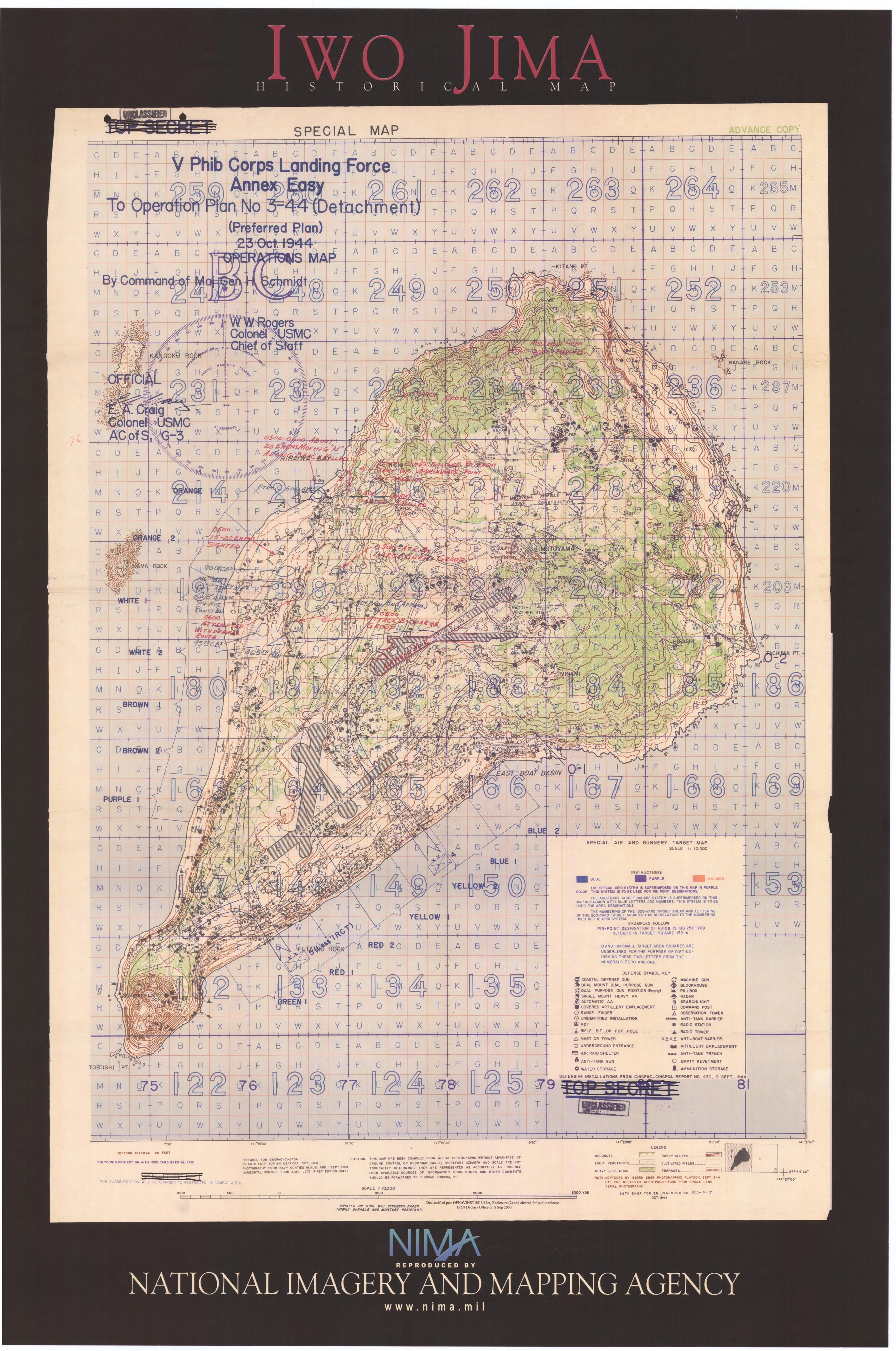
[edit]| Description | Iwo Jima Historical Map (Poster) | |||
| Date | October 1944 ; 15 April 2004 (according to Exif data) | |||
| Source | http://www.lib.utexas.edu/maps/historical/iwo_jima_2003.jpg | |||
| Author | Original: U.S. Army Center of Military History, National Imagery and Mapping Agency. Post-Work: User:W.wolny | |||
| Permission (Reusing this file) |
|
|||
| Other versions |

.jpg)
_(cropped).jpg&action=edit§ion=1)
File history
Click on a date/time to view the file as it appeared at that time.
| Date/Time | Thumbnail | Dimensions | User | Comment | |
|---|---|---|---|---|---|
| current | 19:31, 5 December 2019 | | 627 × 779 (116 KB) | Tibet Nation (talk | contribs) | File:Iwo Jima Historical Map (Poster).jpg cropped 74 % horizontally, 78 % vertically using CropTool with lossless mode. |
You cannot overwrite this file.
File usage on Commons
The following 2 pages use this file:
_(cropped).jpg&oldid=731738370)