Category:Maps of the City of Sunderland
Jump to navigation
Jump to search
Subcategories
This category has the following 2 subcategories, out of 2 total.
E
S
Media in category "Maps of the City of Sunderland"
The following 16 files are in this category, out of 16 total.
-
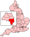 EnglandSunderland.png 200 × 247; 27 KB
-
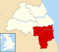
 Sunderland in England (special marker).svg 816 × 991; 1.32 MB
-
 Sunderland in England (zoom).svg 816 × 991; 817 KB
-
 Sunderland in England.svg 816 × 991; 1.32 MB
-
 Sunderland UK local election 2004 map.svg 1,071 × 1,345; 335 KB
-
 Sunderland UK local election 2010 map.svg 1,071 × 1,345; 333 KB
-
 Sunderland UK local election 2011 map.svg 1,071 × 1,345; 333 KB
-
 Sunderland UK local election 2012 map.svg 1,071 × 1,345; 335 KB
-
 Sunderland UK local election 2014 map.svg 1,071 × 1,345; 334 KB
-
 Sunderland UK local election 2015 map.svg 1,071 × 1,345; 335 KB
-
 Sunderland UK local election 2016 map.png 1,024 × 1,256; 210 KB
-
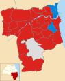
 Sunderland UK locator map.svg 1,425 × 1,252; 683 KB
-
 Sunderland UK ward map 2010 (blank).svg 1,071 × 1,345; 333 KB
-
 Sunderland unparished area UK locator map.svg 1,071 × 1,345; 183 KB
-
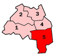 TyneWearNumbered Sunderland.png 200 × 187; 6 KB
-
 Washington - Sunderland dot.png 417 × 599; 122 KB

.svg)
.svg)


.svg)