Category:Maps of national parks in Alaska
Jump to navigation
Jump to search
English: Maps of the National parks in Alaska.
Subcategories
This category has the following 8 subcategories, out of 8 total.
D
G
K
L
W
Media in category "Maps of national parks in Alaska"
The following 12 files are in this category, out of 12 total.
-
 AK map Denali.svg 2,878 × 1,537; 163 KB
-
 AK map WSENP.svg 2,878 × 1,537; 170 KB
-
 Ambler Road Project Area Administered Lands.png 1,499 × 961; 2.17 MB
-
 Map Chilkoot Trail NPS.jpg 935 × 1,484; 1,022 KB
-
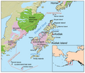
 Kodiak Island map in Alaska.png 1,000 × 855; 629 KB
-
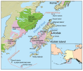
 Kodiak Island map.png 1,000 × 855; 585 KB
-
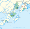
 Kodiakislandmap.svg 1,000 × 855; 850 KB
-
 Map Gates of the Arctic National Park.png 1,267 × 1,049; 385 KB
-
 Map of Alaskas Parks.gif 544 × 560; 30 KB
-
 Map of Controller Bay Alaska 1911.jpg 4,420 × 3,230; 2.14 MB
-
 Map of four Alaskan National Parks.gif 450 × 436; 20 KB
-
 Newly Established National Monuments December 1978.png 1,100 × 816; 285 KB


