Category:Districts of Zawiercie
Jump to navigation
Jump to search
Subcategories
This category has the following 5 subcategories, out of 5 total.
Media in category "Districts of Zawiercie"
The following 47 files are in this category, out of 47 total.
-
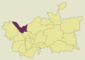
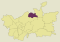
 Zawiercie Argentyna location map new.png 2,630 × 1,860; 69 KB
-
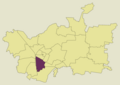
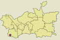
 Zawiercie Blanowice location map new.png 2,630 × 1,860; 70 KB
-
 Zawiercie Blanowice location map.png 900 × 600; 80 KB
-
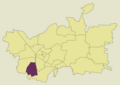
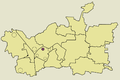
 Zawiercie Borowe Pole location map new.png 2,630 × 1,860; 70 KB
-
 Zawiercie Borowe Pole location map.png 900 × 600; 80 KB
-
 Zawiercie Bzow location map new.png 2,630 × 1,860; 70 KB
-
 Zawiercie Bzow location map.png 900 × 600; 80 KB
-
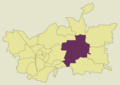
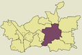
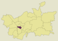
 Zawiercie Centrum location map new.png 2,630 × 1,860; 69 KB
-
 Zawiercie Centrum location map.png 900 × 600; 80 KB
-
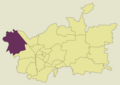
 Zawiercie Dabrowica location map new.png 2,630 × 1,860; 69 KB
-
 Zawiercie Karlin location map new.png 2,630 × 1,860; 70 KB
-
 Zawiercie Karlin location map.png 900 × 600; 80 KB
-
 Zawiercie Kromolow location map new.png 2,630 × 1,860; 71 KB
-
 Zawiercie Kromolow location map.png 900 × 600; 81 KB
-
 Zawiercie Losnice location map new.png 2,630 × 1,860; 70 KB
-
 Zawiercie Losnice location map.png 900 × 600; 80 KB
-
 Zawiercie Marciszow location map new.png 2,630 × 1,860; 70 KB
-
 Zawiercie Marciszow location map.png 900 × 600; 81 KB
-
 Zawiercie Miodowa location map new.png 2,630 × 1,860; 70 KB
-
 Zawiercie Osiedle Argentyna location map.png 900 × 600; 80 KB
-
 Zawiercie Osiedle Kosowska Niwa location map.png 900 × 600; 80 KB
-
 Zawiercie Osiedle Miodowa location map.png 900 × 600; 80 KB
-
 Zawiercie Osiedle Pilsudskiego location map.png 900 × 600; 80 KB
-
 Zawiercie Osiedle Stawki location map.png 900 × 600; 80 KB
-
 Zawiercie Osiedle Szymanskiego (TAZ) location map.png 900 × 600; 80 KB
-
 Zawiercie Osiedle Zuzanka location map.png 900 × 600; 80 KB
-
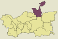
 Zawiercie Pilsudskiego location map new.png 2,630 × 1,860; 69 KB
-
 Zawiercie podział mapa.jpg 900 × 600; 133 KB
-
 Zawiercie podział mapa2.png 900 × 600; 130 KB
-
 Zawiercie podział mapa3.png 2,630 × 1,860; 275 KB
-
 Zawiercie Pomrozyce location map new.png 2,630 × 1,860; 69 KB
-
 Zawiercie Pomrozyce location map.png 900 × 600; 80 KB
-
 Zawiercie Przyjazn location map.png 900 × 600; 80 KB
-
 Zawiercie Skarzyce location map new.png 2,630 × 1,860; 70 KB
-
 Zawiercie Skarzyce location map.png 900 × 600; 81 KB
-
 Zawiercie Stary Rynek location map new.png 2,630 × 1,860; 70 KB
-
 Zawiercie Stary Rynek location map.png 900 × 600; 80 KB
-
 Zawiercie Stawki location map new.png 2,630 × 1,860; 69 KB
-
 Zawiercie Szymanskiego location map new.png 2,630 × 1,860; 69 KB
-
 Zawiercie Warty location map new.png 2,630 × 1,860; 69 KB
-
 Zawiercie Warty location map.png 900 × 600; 80 KB
-
 Zawiercie Wydra Zielona location map new.png 2,630 × 1,860; 69 KB
-
 Zawiercie Zabki location map.png 900 × 600; 81 KB
-
 Zawiercie Zerkowice location map new.png 2,630 × 1,860; 70 KB
-
 Zawiercie Zerkowice location map.png 900 × 600; 80 KB
-
 Zawiercie Zuzanka I location map new.png 2,630 × 1,860; 69 KB
-
 Zawiercie Zuzanka location map new.png 2,630 × 1,860; 69 KB


_location_map.png)


