Category:1650 maps of Europe
Jump to navigation
Jump to search
Temperate regions: North America · South America · Africa · Europe · Asia · – Polar regions: – Other regions:
English: 1650 maps of Europe
Español: Mapas de Europa en 1650
Suomi: Euroopan kartat vuodelta 1650
Română: Hărți ale Europei din 1650
Subcategories
This category has the following 3 subcategories, out of 3 total.
Media in category "1650 maps of Europe"
The following 8 files are in this category, out of 8 total.
-
 1650 Battle of Dunbar dispositions map.jpg 773 × 581; 127 KB
-

-
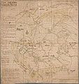 Kajaanin lääni 1650.jpg 1,126 × 1,200; 212 KB
-
 Kajaaniporin lääni 1650.jpg 9,546 × 10,284; 18.43 MB
-
 Rhaetiae et Valtolinae desc. - N. Geelkerk exc. - btv1b8444257w.jpg 9,164 × 6,704; 11.87 MB
-
 Turun lääni 1650.jpg 1,057 × 1,200; 223 KB
-
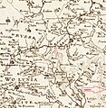 Ратне 1650.jpg 2,295 × 2,346; 1.67 MB
-
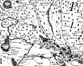 Фрагмент Карти України Гійома де Боплана, 1650р.jpg 773 × 616; 216 KB

.jpg)


